Waimate Island Area, Waimate Island Postcode(3500) & Map in Waimate Island
Waimate Island Area, Waimate Island Postcode(3500) & Map in Waimate Island, Thames-Coromandel District, New Zealand
Waimate Island, Thames-Coromandel District, New Zealand
Waimate Island Postcodes
Waimate Island Area (estimated)
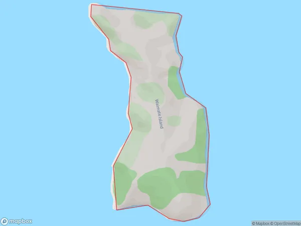
0.9 square kilometersWaimate Island Population (estimated)
0 people live in Waimate Island, Waikato, NZWaimate Island Suburb Area Map (Polygon)
Waimate Island Introduction
Waimate Island is a small, rural island in the Waikato region of New Zealand. It is known for its scenic beauty, including rolling hills, lush forests, and a stunning coastline. The island has a population of around 1,200 people and is home to a variety of wildlife, including birds, bats, and marine mammals. Waimate Island is also home to a number of historic sites, including a former prison and a lighthouse. The island is accessible by ferry from the mainland and is a popular destination for tourists and locals alike.Region
Suburb Name
Waimate IslandOther Name(s)
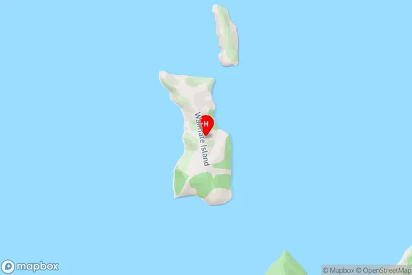
Hauraki GulfWaimate Island Area Map (Street)
Local Authority
Thames-Coromandel DistrictFull Address
Waimate Island, Thames-Coromandel District, New ZealandAddress Type
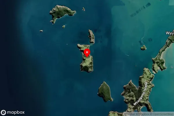
IslandWaimate Island Suburb Map (Satellite)
Country
Main Region in AU
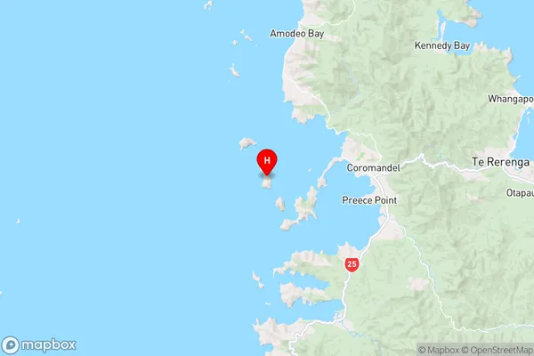
WaikatoWaimate Island Region Map
Coordinates
-36.7635062,175.418440396195 (latitude/longitude)Distances
The distance from Waimate Island, , Thames-Coromandel District to NZ Top 10 Cities