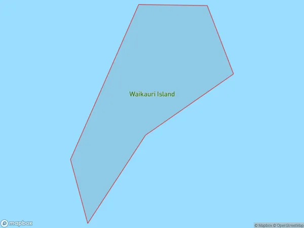
Waikauri Island Area, Waikauri Island Postcode(1148) & Map in Waikauri Island
Waikauri Island Area, Waikauri Island Postcode(1148) & Map in Waikauri Island, Auckland, New Zealand
Waikauri Island, Auckland, New Zealand
Waikauri Island Postcodes
Waikauri Island Area (estimated)
0.0 square kilometersWaikauri Island Population (estimated)
0 people live in Waikauri Island, Rodney, NZWaikauri Island Suburb Area Map (Polygon)
Waikauri Island Introduction
Waikauri Island is a picturesque and peaceful island located in the Hauraki Gulf, just off the coast of Auckland, New Zealand. It is known for its stunning natural beauty, including lush forests, pristine beaches, and crystal-clear waters. The island is a popular destination for outdoor activities such as hiking, kayaking, and fishing, and it is home to a small community of residents who enjoy the relaxed and laid-back lifestyle.Region
Major City
Suburb Name
Waikauri IslandOther Name(s)
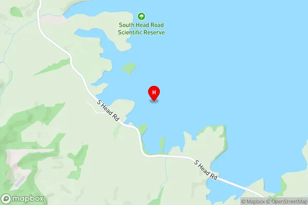
Kawau Parua InletWaikauri Island Area Map (Street)
Local Authority
AucklandFull Address
Waikauri Island, Auckland, New ZealandAddress Type
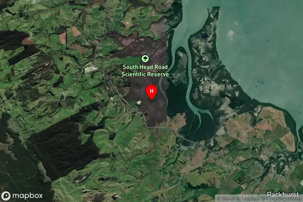
IslandWaikauri Island Suburb Map (Satellite)
Country
Main Region in AU
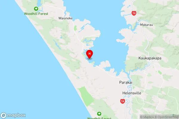
AucklandWaikauri Island Region Map
Coordinates
-36.61782935,174.353181396654 (latitude/longitude)Distances
The distance from Waikauri Island, , Auckland to NZ Top 10 Cities