Utah Island Area, Utah Island Postcode & Map in Utah Island
Utah Island Area, Utah Island Postcode & Map in Utah Island, Southland District, New Zealand
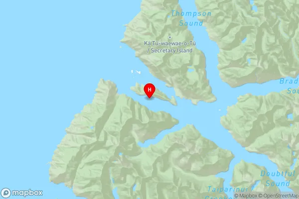
Utah Island, Southland District, New Zealand
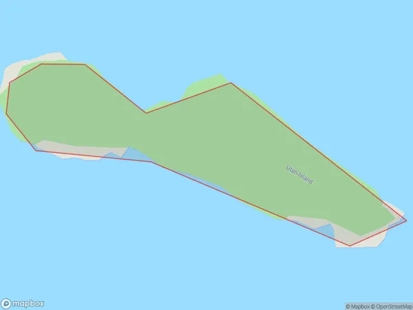
Utah Island Area (estimated)
0.1 square kilometersUtah Island Population (estimated)
0 people live in Utah Island, Southland, NZUtah Island Suburb Area Map (Polygon)
Utah Island Introduction
Utah Island is a small island in Fiordland National Park, Southland, New Zealand. It is known for its stunning natural beauty, including rugged cliffs, lush rainforests, and crystal-clear lakes. The island is a popular destination for hiking, camping, and wildlife viewing, with a variety of species of birds, including the rare southern bald eagle. Utah Island is also home to a small population of seals and penguins.Region
Suburb Name
Utah IslandOther Name(s)
Doubtful Sound / PateaUtah Island Area Map (Street)

Local Authority
Southland DistrictFull Address
Utah Island, Southland District, New ZealandAddress Type
IslandUtah Island Suburb Map (Satellite)

Country
Main Region in AU
SouthlandUtah Island Region Map
Coordinates
-45.2971926,166.910049564181 (latitude/longitude)Distances
The distance from Utah Island, , Southland District to NZ Top 10 Cities