Uretara Island Area, Uretara Island Postcode(3120) & Map in Uretara Island
Uretara Island Area, Uretara Island Postcode(3120) & Map in Uretara Island, Whakatane District, New Zealand
Uretara Island, Whakatane District, New Zealand
Uretara Island Postcodes
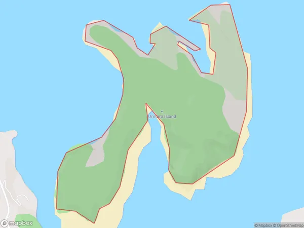
Uretara Island Area (estimated)
0.9 square kilometersUretara Island Population (estimated)
0 people live in Uretara Island, Bay of Plenty, NZUretara Island Suburb Area Map (Polygon)
Uretara Island Introduction
Uretara Island is a small, uninhabited island in the Bay of Plenty, New Zealand. It is part of the Tauranga Harbour and is known for its scenic beauty and rich biodiversity. The island is a popular spot for birdwatching and has a variety of native birds, including tui, kereru, and kiwi. Uretara Island is also home to a small population of seals and is a protected area under the New Zealand Department of Conservation.Region
Suburb Name
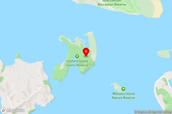
Uretara IslandUretara Island Area Map (Street)
Local Authority
Whakatane DistrictFull Address
Uretara Island, Whakatane District, New ZealandAddress Type
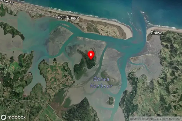
IslandUretara Island Suburb Map (Satellite)
Country
Main Region in AU
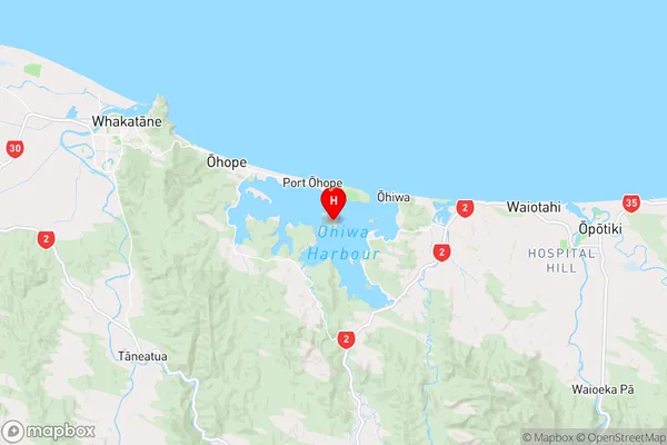
Bay of PlentyUretara Island Region Map
Coordinates
-38.00112865,177.122286797601 (latitude/longitude)Distances
The distance from Uretara Island, , Whakatane District to NZ Top 10 Cities