Ulva Island Area, Ulva Island Postcode & Map in Ulva Island
Ulva Island Area, Ulva Island Postcode & Map in Ulva Island, Southland District, New Zealand
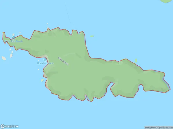
Ulva Island, Southland District, New Zealand
Ulva Island Area (estimated)
3.1 square kilometersUlva Island Population (estimated)
0 people live in Ulva Island, Southland, NZUlva Island Suburb Area Map (Polygon)
Ulva Island Introduction
Ulva Island is a small, forested island in Fiordland National Park, Southland, New Zealand. It is known for its rich biodiversity, including rare and endangered species of plants and animals. The island is accessible by a short boat ride from Te Anau or Manapouri. Visitors can explore the island's walking tracks, scenic viewpoints, and the remains of a former kauri forest. Ulva Island is a popular destination for nature enthusiasts and birdwatchers.Region
Suburb Name
Ulva IslandOther Name(s)
Paterson Inlet/Whaka a Te WeraUlva Island Area Map (Street)

Local Authority
Southland DistrictFull Address
Ulva Island, Southland District, New ZealandAddress Type
IslandUlva Island Suburb Map (Satellite)

Country
Main Region in AU
SouthlandUlva Island Region Map

Coordinates
-46.9314829,168.133941338332 (latitude/longitude)Distances
The distance from Ulva Island, , Southland District to NZ Top 10 Cities