Tutaetaka Island Area, Tutaetaka Island Postcode(3129) & Map in Tutaetaka Island
Tutaetaka Island Area, Tutaetaka Island Postcode(3129) & Map in Tutaetaka Island, Western Bay of Plenty District, New Zealand
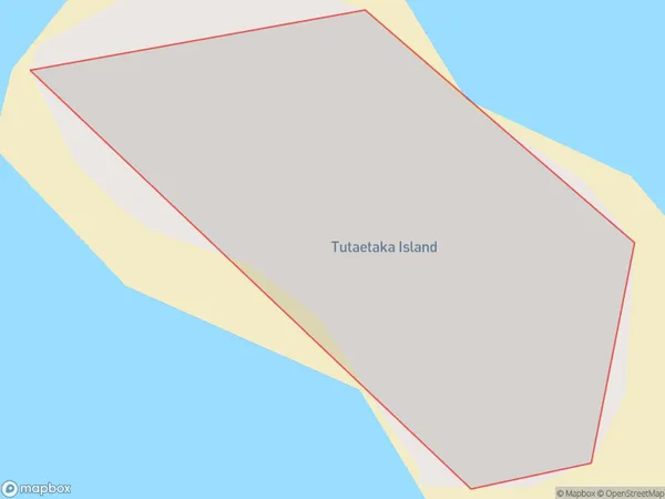
Tutaetaka Island, Western Bay of Plenty District, New Zealand
Tutaetaka Island Postcodes
Tutaetaka Island Area (estimated)
0.0 square kilometersTutaetaka Island Population (estimated)
0 people live in Tutaetaka Island, Bay of Plenty, NZTutaetaka Island Suburb Area Map (Polygon)
Tutaetaka Island Introduction
Tutaetaka Island is a small, uninhabited island in the Bay of Plenty, New Zealand. It is known for its stunning natural beauty, including rugged cliffs, crystal-clear waters, and diverse marine life. The island is a popular destination for hiking, camping, and snorkeling, and is part of the Tauranga Harbour Marine Reserve.Region
Major City
Suburb Name
Tutaetaka IslandOther Name(s)
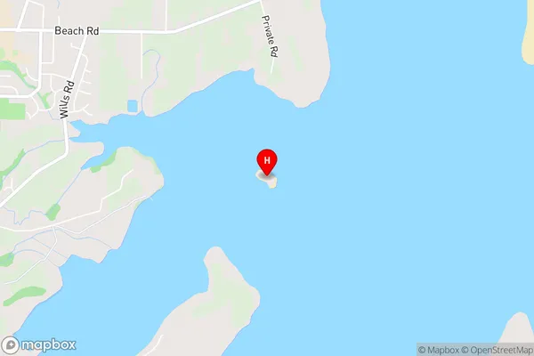
Tauranga HarbourTutaetaka Island Area Map (Street)
Local Authority
Western Bay of Plenty DistrictFull Address
Tutaetaka Island, Western Bay of Plenty District, New ZealandAddress Type
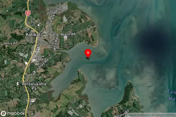
IslandTutaetaka Island Suburb Map (Satellite)
Country
Main Region in AU
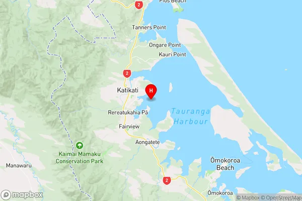
Bay of PlentyTutaetaka Island Region Map
Coordinates
-37.5633756,175.947191709847 (latitude/longitude)Distances
The distance from Tutaetaka Island, , Western Bay of Plenty District to NZ Top 10 Cities