Turnagain Island Area, Turnagain Island Postcode & Map in Turnagain Island
Turnagain Island Area, Turnagain Island Postcode & Map in Turnagain Island, Waitaki District, New Zealand
Turnagain Island, Waitaki District, New Zealand
Turnagain Island Area (estimated)
0.0 square kilometersTurnagain Island Population (estimated)
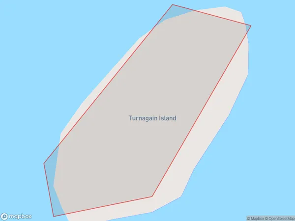
0 people live in Turnagain Island, Canterbury, NZTurnagain Island Suburb Area Map (Polygon)
Turnagain Island Introduction
Turnagain Island is a 2.5-hectare (6.2-acre) island in the Orari River, 20 km (12 mi) south of Christchurch, New Zealand. It is part of the Canterbury Plains. The island is named after the ship Turnagain, which ran aground on the island in 1863. The island is home to a variety of wildlife, including birds, rabbits, and seals. The island is also popular with tourists and has a walking track and a picnic area.Region
Suburb Name
Turnagain IslandOther Name(s)
Lake BenmoreTurnagain Island Area Map (Street)

Local Authority
Waitaki DistrictFull Address
Turnagain Island, Waitaki District, New ZealandAddress Type
IslandTurnagain Island Suburb Map (Satellite)

Country
Main Region in AU
CanterburyTurnagain Island Region Map

Coordinates
-44.5376925,170.160968693559 (latitude/longitude)Distances
The distance from Turnagain Island, , Waitaki District to NZ Top 10 Cities