Tuamotu Island Area, Tuamotu Island Postcode(4010) & Map in Tuamotu Island
Tuamotu Island Area, Tuamotu Island Postcode(4010) & Map in Tuamotu Island, Gisborne District, New Zealand
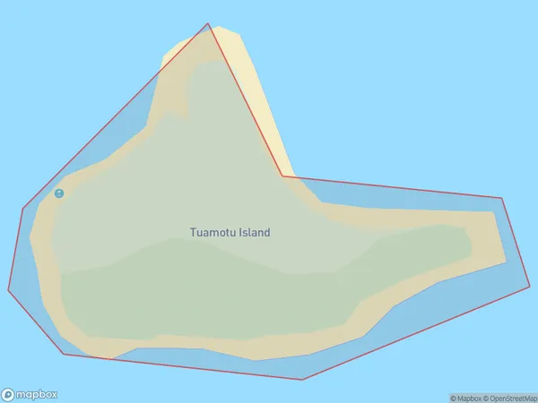
Tuamotu Island, Gisborne District, New Zealand
Tuamotu Island Postcodes
Tuamotu Island Area (estimated)
0.0 square kilometersTuamotu Island Population (estimated)
0 people live in Tuamotu Island, Gisborne, NZTuamotu Island Suburb Area Map (Polygon)
Region
Major City
Suburb Name
Tuamotu IslandOther Name(s)
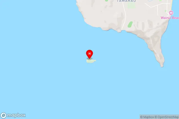
Turanganui-a-Kiwa / Poverty Bay (Maori Name: Tūranganui-a-Kiwa / Poverty Bay)Tuamotu Island Area Map (Street)
Local Authority
Gisborne DistrictFull Address
Tuamotu Island, Gisborne District, New ZealandAddress Type
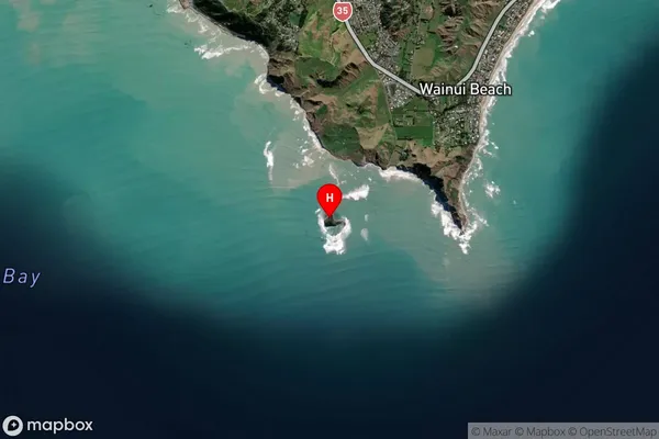
IslandTuamotu Island Suburb Map (Satellite)
Country
Main Region in AU
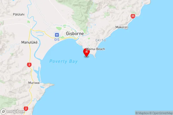
GisborneTuamotu Island Region Map
Coordinates
-38.70603125,178.04827868858 (latitude/longitude)Distances
The distance from Tuamotu Island, , Gisborne District to NZ Top 10 Cities