Hatuma Area, Hatuma Postcode(4281) & Map in Hatuma
Hatuma Area, Hatuma Postcode(4281) & Map in Hatuma, Central Hawke's Bay District, New Zealand
Hatuma, Central Hawke's Bay District, New Zealand
Hatuma Postcodes
Hatuma Area (estimated)
82.6 square kilometersHatuma Population (estimated)
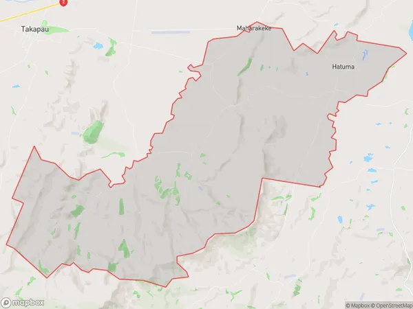
187 people live in Hatuma, Hawke's Bay, NZHatuma Suburb Area Map (Polygon)
Hatuma Introduction
Hatuma is a small rural community in Waipukurau, Hawke's Bay, New Zealand. It is known for its beautiful beaches, stunning scenery, and friendly locals. The area is popular with tourists and has a variety of accommodation options, including hotels, motels, and holiday homes. There are also several restaurants and cafes in the area, as well as a golf course and a bowling club.Region
Major City
Suburb Name
HatumaOther Name(s)
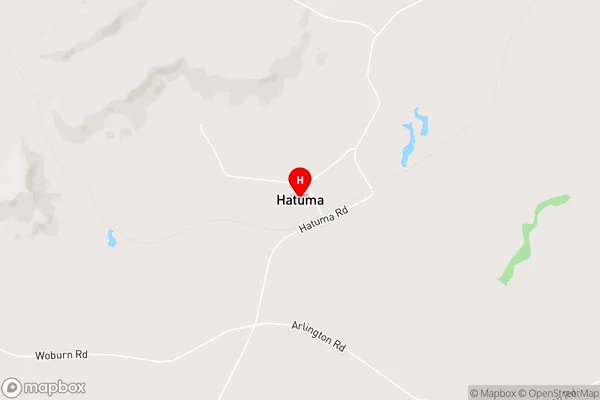
MaharakekeHatuma Area Map (Street)
Local Authority
Central Hawke's Bay DistrictFull Address
Hatuma, Central Hawke's Bay District, New ZealandAddress Type
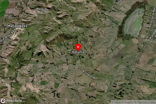
Locality in Town WaipukurauHatuma Suburb Map (Satellite)
Country
Main Region in AU
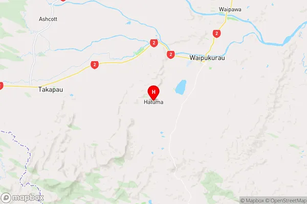
Hawke's BayHatuma Region Map
Coordinates
-40.0367467,176.4884792 (latitude/longitude)Distances
The distance from Hatuma, Waipukurau, Central Hawke's Bay District to NZ Top 10 Cities