Toretore Island Area, Toretore Island Postcode & Map in Toretore Island
Toretore Island Area, Toretore Island Postcode & Map in Toretore Island, Far North District, New Zealand
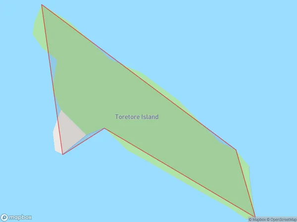
Toretore Island, Far North District, New Zealand
Toretore Island Area (estimated)
0.0 square kilometersToretore Island Population (estimated)
0 people live in Toretore Island, Bay of Islands-Whangaroa Community, NZToretore Island Suburb Area Map (Polygon)
Toretore Island Introduction
Toretore Island is located in the Bay of Islands in Northland, New Zealand. It is a small, uninhabited island with a rich history and stunning natural beauty. The island is known for its stunning beaches, crystal-clear waters, and diverse marine life. It is a popular destination for tourists and outdoor enthusiasts, who can explore the island's many walking tracks, kayak tours, and snorkeling opportunities.Region
Major City
Suburb Name
Toretore IslandOther Name(s)
Bay Of IslandsToretore Island Area Map (Street)

Local Authority
Far North DistrictFull Address
Toretore Island, Far North District, New ZealandAddress Type
IslandToretore Island Suburb Map (Satellite)

Country
Main Region in AU
NorthlandToretore Island Region Map

Coordinates
-35.2843084,174.111370047483 (latitude/longitude)Distances
The distance from Toretore Island, , Far North District to NZ Top 10 Cities