Tonga Island Area, Tonga Island Postcode & Map in Tonga Island
Tonga Island Area, Tonga Island Postcode & Map in Tonga Island, Tasman District, New Zealand
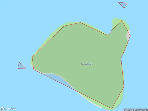
Tonga Island, Tasman District, New Zealand
Tonga Island Area (estimated)
0.1 square kilometersTonga Island Population (estimated)
0 people live in Tonga Island, Tasman, NZTonga Island Suburb Area Map (Polygon)
Tonga Island Introduction
Tonga Island is a small, uninhabited island located in the Tasman Sea, part of New Zealand's South Island. It is known for its stunning natural beauty, including rugged cliffs, pristine beaches, and diverse marine life. Tonga Island is a popular destination for hiking, camping, and snorkeling and is part of the Tonga Island Marine Reserve, which is dedicated to protecting its unique ecosystems.Region
Suburb Name
Tonga IslandOther Name(s)
Tasman BayTonga Island Area Map (Street)

Local Authority
Tasman DistrictFull Address
Tonga Island, Tasman District, New ZealandAddress Type
IslandTonga Island Suburb Map (Satellite)

Country
Main Region in AU
TasmanTonga Island Region Map

Coordinates
-40.89049835,173.066331834537 (latitude/longitude)Distances
The distance from Tonga Island, , Tasman District to NZ Top 10 Cities