Tommy Island Area, Tommy Island Postcode & Map in Tommy Island
Tommy Island Area, Tommy Island Postcode & Map in Tommy Island, Southland District, New Zealand
Tommy Island, Southland District, New Zealand
Tommy Island Area (estimated)
0.2 square kilometersTommy Island Population (estimated)
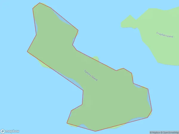
0 people live in Tommy Island, Southland, NZTommy Island Suburb Area Map (Polygon)
Tommy Island Introduction
Tommy Island is a small island in Fiordland National Park, Southland, New Zealand. It is known for its stunning natural beauty, including crystal-clear waters, rugged cliffs, and lush rainforest. The island is a popular destination for hiking, kayaking, and wildlife viewing, with a variety of species of birds and marine animals. It is also home to a small community of people who live in traditional wooden houses.Region
Suburb Name
Tommy IslandOther Name(s)
Paterson Inlet/Whaka a Te WeraTommy Island Area Map (Street)

Local Authority
Southland DistrictFull Address
Tommy Island, Southland District, New ZealandAddress Type
IslandTommy Island Suburb Map (Satellite)

Country
Main Region in AU
SouthlandTommy Island Region Map

Coordinates
-46.95248065,168.128077639677 (latitude/longitude)Distances
The distance from Tommy Island, , Southland District to NZ Top 10 Cities