Tokaroa Rock Area, Tokaroa Rock Postcode(3500) & Map in Tokaroa Rock
Tokaroa Rock Area, Tokaroa Rock Postcode(3500) & Map in Tokaroa Rock, Thames-Coromandel District, New Zealand
Tokaroa Rock, Thames-Coromandel District, New Zealand
Tokaroa Rock Postcodes
0Tokaroa Rock Population (estimated)
0 people live in Tokaroa Rock, Waikato, NZ0Tokaroa Rock Introduction
Waikato's Tokaroa Island is home to the 115-meter-high Tokaroa Rock. It is a well-liked location for hiking, camping, and nature photography due to its distinctive shape and breathtaking views of the surrounding area. The island is also home to a variety of bird species, including the rare New Zealand kiwi. The rock was formed over millions of years by volcanic activity and erosion.Region
Suburb Name
Tokaroa RockOther Name(s)
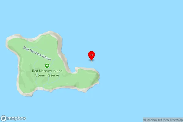
Mercury IslandsTokaroa Rock Area Map (Street)
Local Authority
Thames-Coromandel DistrictFull Address
Tokaroa Rock, Thames-Coromandel District, New ZealandAddress Type
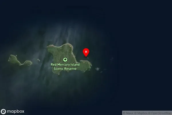
IslandTokaroa Rock Suburb Map (Satellite)
Country
Main Region in AU
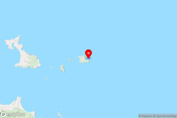
WaikatoTokaroa Rock Region Map
Coordinates
-36.62261775,175.946810769477 (latitude/longitude)Distances
The distance from Tokaroa Rock, , Thames-Coromandel District to NZ Top 10 Cities