Tokakahakaha Island Area, Tokakahakaha Island Postcode & Map in Tokakahakaha Island
Tokakahakaha Island Area, Tokakahakaha Island Postcode & Map in Tokakahakaha Island, Area outside Territorial Authority, New Zealand
Tokakahakaha Island, Area outside Territorial Authority, New Zealand
Tokakahakaha Island Area (estimated)
0.0 square kilometersTokakahakaha Island Population (estimated)
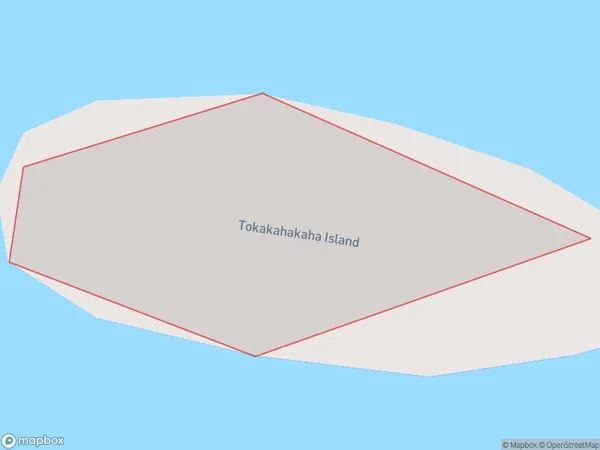
0 people live in Tokakahakaha Island, Waikato, NZTokakahakaha Island Suburb Area Map (Polygon)
Tokakahakaha Island Introduction
Waikato, New Zealand's Tokakahakaha Island is a 25-hectare island in the Waikato River. It is a well-liked location for outdoor pursuits like camping, hiking, and fishing because of its stunning natural surroundings and rich history. The island has a campground, walking tracks, and a historic pa site. It is also home to a variety of bird species, including the rare North Island brown kiwi.Region
Suburb Name
Tokakahakaha IslandOther Name(s)
Bay Of PlentyTokakahakaha Island Area Map (Street)

Local Authority
Area outside Territorial AuthorityFull Address
Tokakahakaha Island, Area outside Territorial Authority, New ZealandAddress Type
IslandTokakahakaha Island Suburb Map (Satellite)

Country
Main Region in AU
WaikatoTokakahakaha Island Region Map

Coordinates
-37.17092995,175.885067473 (latitude/longitude)Distances
The distance from Tokakahakaha Island, , Area outside Territorial Authority to NZ Top 10 Cities