Titi Island Area, Titi Island Postcode & Map in Titi Island
Titi Island Area, Titi Island Postcode & Map in Titi Island, Marlborough District, New Zealand
Titi Island, Marlborough District, New Zealand
Titi Island Area (estimated)
0.3 square kilometersTiti Island Population (estimated)
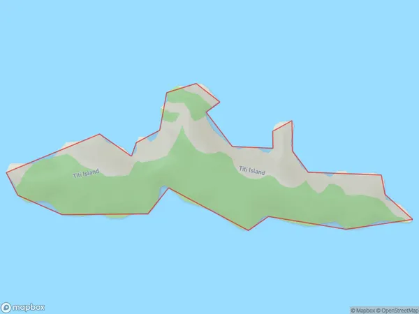
0 people live in Titi Island, Marlborough, NZTiti Island Suburb Area Map (Polygon)
Region
0Suburb Name
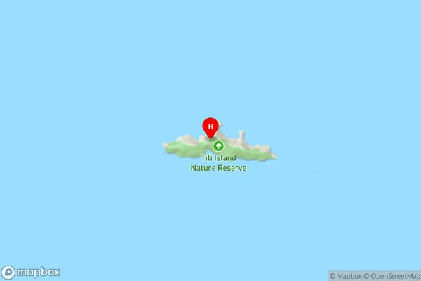
Titi IslandTiti Island Area Map (Street)
Local Authority
Marlborough DistrictFull Address
Titi Island, Marlborough District, New ZealandAddress Type
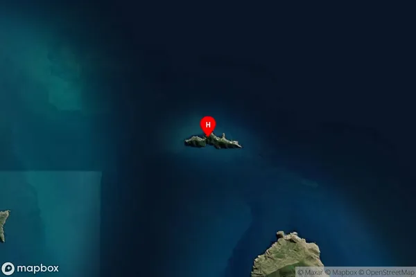
Island in Major Locality Marlborough SoundsTiti Island Suburb Map (Satellite)
Country
Main Region in AU
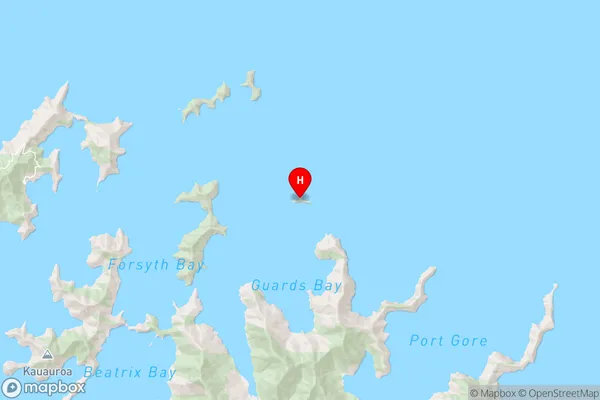
MarlboroughTiti Island Region Map
Coordinates
-40.95058195,174.137794856695 (latitude/longitude)Distances
The distance from Titi Island, Marlborough Sounds, Marlborough District to NZ Top 10 Cities