Tinui Island Area, Tinui Island Postcode & Map in Tinui Island
Tinui Island Area, Tinui Island Postcode & Map in Tinui Island, Marlborough District, New Zealand
Tinui Island, Marlborough District, New Zealand
Tinui Island Area (estimated)
1.1 square kilometersTinui Island Population (estimated)
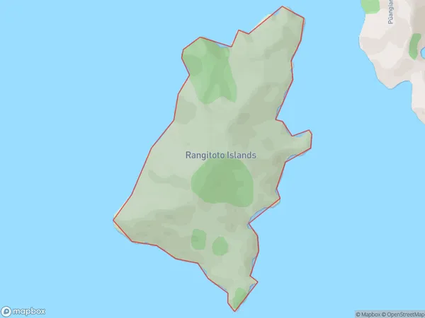
0 people live in Tinui Island, Marlborough, NZTinui Island Suburb Area Map (Polygon)
Tinui Island Introduction
Tinui Island is located in the Marlborough Sounds, New Zealand. It is a small, uninhabited island with a beautiful beach and stunning natural surroundings. The island is a popular spot for hiking, kayaking, and wildlife watching, with a variety of bird species and marine life. It is also known for its historic ruins, including a former whaling station and a Maori settlement.Region
0Suburb Name
Tinui Island (Maori Name: Tīnui Island)Other Name(s)
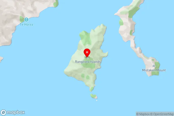
Rangitoto IslandsTinui Island Area Map (Street)
Local Authority
Marlborough DistrictFull Address
Tinui Island, Marlborough District, New ZealandAddress Type
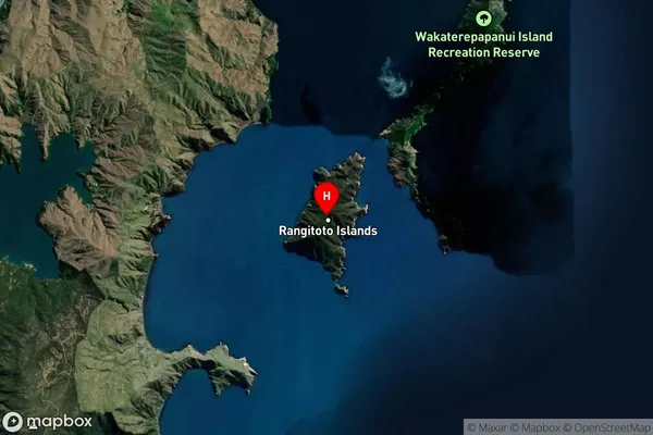
Island in Major Locality Marlborough SoundsTinui Island Suburb Map (Satellite)
Country
Main Region in AU
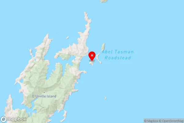
MarlboroughTinui Island Region Map
Coordinates
-40.7763233,173.968545383476 (latitude/longitude)Distances
The distance from Tinui Island, Marlborough Sounds, Marlborough District to NZ Top 10 Cities