Timore Island / Chimneys Area, Timore Island / Chimneys Postcode & Map in Timore Island / Chimneys
Timore Island / Chimneys Area, Timore Island / Chimneys Postcode & Map in Timore Island / Chimneys, Southland District, New Zealand
Timore Island / Chimneys, Southland District, New Zealand
Timore Island / Chimneys Area (estimated)
0.1 square kilometersTimore Island / Chimneys Population (estimated)
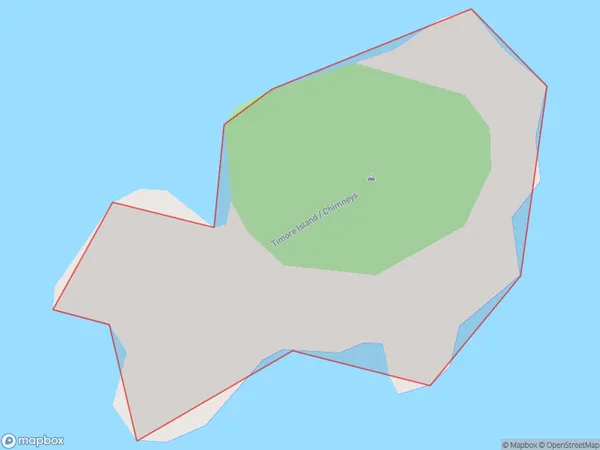
0 people live in Timore Island / Chimneys, Southland, NZTimore Island / Chimneys Suburb Area Map (Polygon)
Timore Island / Chimneys Introduction
Timore Island / Chimneys is a volcanic cone located in Southland, New Zealand. It is part of the Southern Alps Volcanic Province and is situated within Fiordland National Park. The cone is approximately 2,200 years old and has a height of 1,700 meters. The island is accessible by boat from Fiordland National Park and is a popular destination for hiking and camping.Region
Suburb Name
Timore Island / ChimneysOther Name(s)
Titi / Muttonbird Islands, Chimneys, Timore Island (Maori Name: Tītī / Muttonbird Islands, Chimneys, Timore Island)Timore Island / Chimneys Area Map (Street)

Local Authority
Southland DistrictFull Address
Timore Island / Chimneys, Southland District, New ZealandAddress Type
IslandTimore Island / Chimneys Suburb Map (Satellite)

Country
Main Region in AU
SouthlandTimore Island / Chimneys Region Map

Coordinates
-47.1388911,167.517250745878 (latitude/longitude)Distances
The distance from Timore Island / Chimneys, , Southland District to NZ Top 10 Cities