Tikore Island Area, Tikore Island Postcode(9814) & Map in Tikore Island
Tikore Island Area, Tikore Island Postcode(9814) & Map in Tikore Island, Invercargill City, New Zealand
Tikore Island, Invercargill City, New Zealand
Tikore Island Postcodes
Tikore Island Area (estimated)
0.3 square kilometersTikore Island Population (estimated)
0 people live in Tikore Island, Invercargill City, NZTikore Island Suburb Area Map (Polygon)
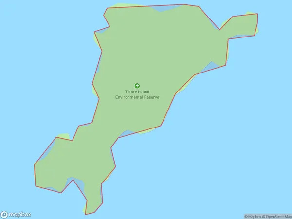
Tikore Island Introduction
Tikore Island is a small, uninhabited island in Fiordland National Park, Southland, New Zealand. It is known for its stunning natural beauty, including rugged cliffs, dense forests, and crystal-clear lakes. The island is a popular destination for hiking, camping, and wildlife viewing, with a variety of species of birds and animals including kea, tui, and fur seals.Region
Major City
Suburb Name
Tikore IslandOther Name(s)
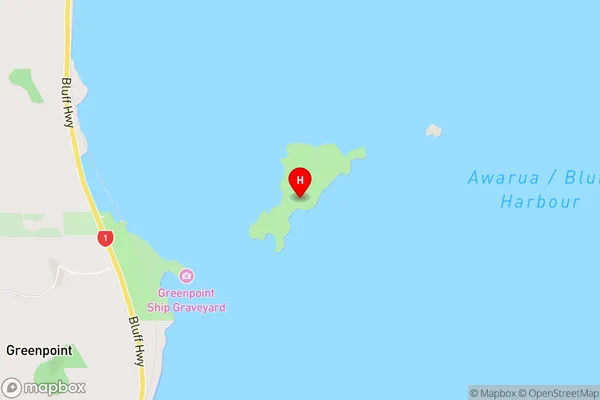
Bluff HarbourTikore Island Area Map (Street)
Local Authority
Invercargill CityFull Address
Tikore Island, Invercargill City, New ZealandAddress Type
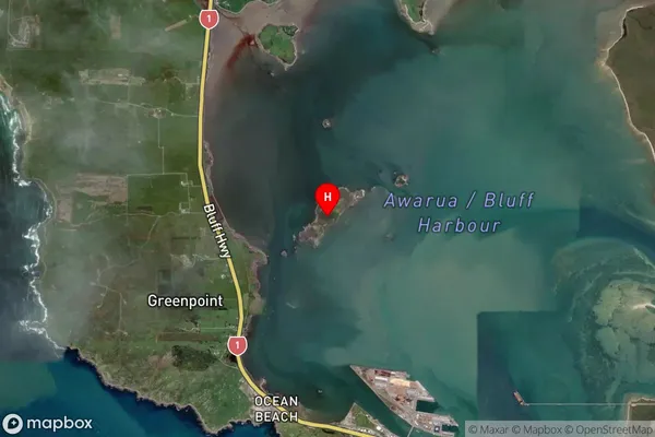
IslandTikore Island Suburb Map (Satellite)
Country
Main Region in AU
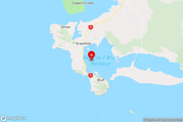
SouthlandTikore Island Region Map
Coordinates
-46.5719779,168.318981387299 (latitude/longitude)Distances
The distance from Tikore Island, , Invercargill City to NZ Top 10 Cities