Tia Island / Entrance Area, Tia Island / Entrance Postcode & Map in Tia Island / Entrance
Tia Island / Entrance Area, Tia Island / Entrance Postcode & Map in Tia Island / Entrance, Southland District, New Zealand
Tia Island / Entrance, Southland District, New Zealand
Tia Island / Entrance Area (estimated)
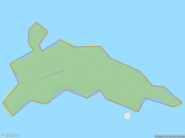
0.3 square kilometersTia Island / Entrance Population (estimated)
0 people live in Tia Island / Entrance, Southland, NZTia Island / Entrance Suburb Area Map (Polygon)
Tia Island / Entrance Introduction
Tia Island / Entrance is a small, uninhabited island located at the entrance to Fiordland National Park in Southland, New Zealand. It is known for its stunning natural beauty, including rugged cliffs, waterfalls, and dense forests. The island is a popular destination for hiking, kayaking, and wildlife viewing, with a variety of species of birds and marine animals found in the surrounding waters.Region
Suburb Name
Tia Island / EntranceOther Name(s)
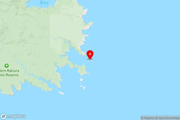
Entrance, Tia IslandTia Island / Entrance Area Map (Street)

Local Authority
Southland DistrictFull Address
Tia Island / Entrance, Southland District, New ZealandAddress Type
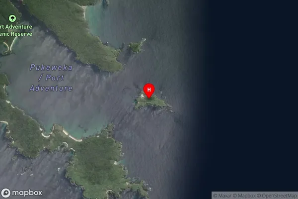
IslandTia Island / Entrance Suburb Map (Satellite)
Country
Main Region in AU
SouthlandTia Island / Entrance Region Map
Coordinates
-47.07312595,168.220397435285 (latitude/longitude)Distances
The distance from Tia Island / Entrance, , Southland District to NZ Top 10 Cities