Thrum Cap Area, Thrum Cap Postcode & Map in Thrum Cap
Thrum Cap Area, Thrum Cap Postcode & Map in Thrum Cap, Southland District, New Zealand
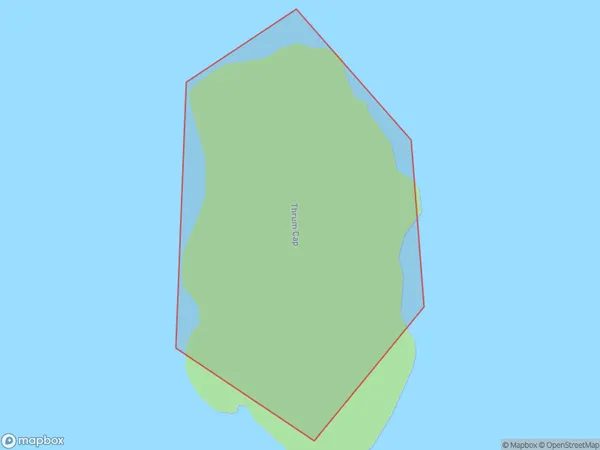
Thrum Cap, Southland District, New Zealand
Thrum Cap Area (estimated)
0.0 square kilometersThrum Cap Population (estimated)
0 people live in Thrum Cap, Southland, NZThrum Cap Suburb Area Map (Polygon)
Thrum Cap Introduction
Thrum Cap is a mountain in Southland, New Zealand. It is located in Fiordland National Park and is part of the Southern Alps. Thrum Cap is the highest point in the Southern Alps and the second-highest mountain in New Zealand. The mountain is named after the Scottish botanist and explorer Robert Jameson, who first saw it in 1840.Region
Suburb Name
Thrum CapOther Name(s)
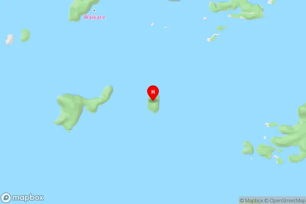
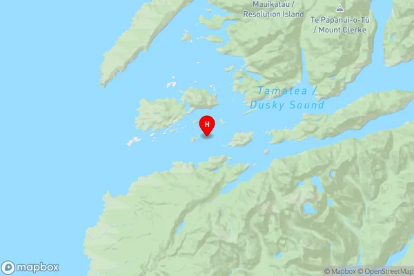
Tamatea / Dusky SoundThrum Cap Area Map (Street)
Local Authority
Southland DistrictFull Address
Thrum Cap, Southland District, New ZealandAddress Type
IslandThrum Cap Suburb Map (Satellite)

Country
Main Region in AU
SouthlandThrum Cap Region Map
Coordinates
-45.77739525,166.553933709413 (latitude/longitude)Distances
The distance from Thrum Cap, , Southland District to NZ Top 10 Cities