Harwood Area, Harwood Postcode(9054) & Map in Harwood
Harwood Area, Harwood Postcode(9054) & Map in Harwood, Dunedin City, New Zealand
Harwood, Dunedin City, New Zealand
Harwood Postcodes
Harwood Area (estimated)
0.6 square kilometersHarwood Population (estimated)
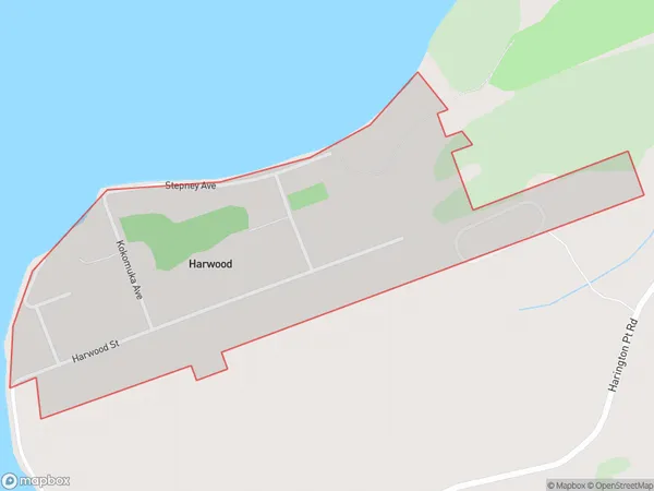
188 people live in Harwood, Otago, NZHarwood Suburb Area Map (Polygon)
Harwood Introduction
Harwood is a suburb of Dunedin, New Zealand, located in the southern part of the city. It is known for its historic homes, beautiful gardens, and peaceful atmosphere. The area was developed in the late 19th century and is named after the Harwood family, who were prominent land owners in the region. Harwood has a variety of shops, cafes, and restaurants, as well as a community center and library. It is also home to the University of Otago's Harwood Campus, which includes the Harwood Building and the Otago Polytechnic.Region
Major City
Suburb Name
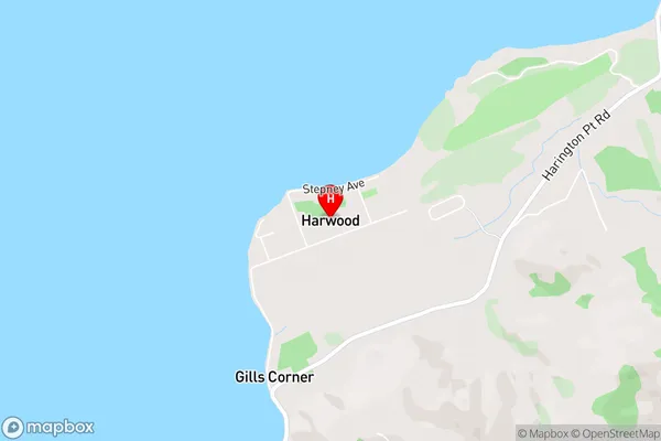
HarwoodHarwood Area Map (Street)
Local Authority
Dunedin CityFull Address
Harwood, Dunedin City, New ZealandAddress Type
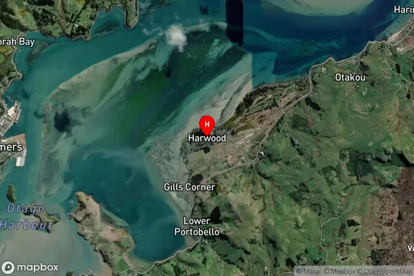
Locality in City DunedinHarwood Suburb Map (Satellite)
Country
Main Region in AU
OtagoHarwood Region Map

Coordinates
-45.8146678,170.6747441 (latitude/longitude)Distances
The distance from Harwood, Dunedin, Dunedin City to NZ Top 10 Cities