The Spire Area, The Spire Postcode(3500) & Map in The Spire
The Spire Area, The Spire Postcode(3500) & Map in The Spire, Thames-Coromandel District, New Zealand
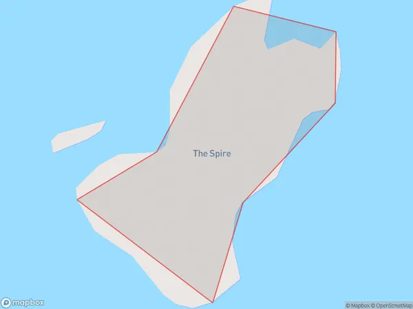
The Spire, Thames-Coromandel District, New Zealand
The Spire Postcodes
The Spire Area (estimated)
0.0 square kilometersThe Spire Population (estimated)
0 people live in The Spire, Waikato, NZThe Spire Suburb Area Map (Polygon)
The Spire Introduction
The Spire is a 123-meter-high observation tower in Hamilton, New Zealand, with panoramic views of the city and surrounding area. It was completed in 2003 and is the tallest structure in the Waikato region.Region
Suburb Name
The SpireOther Name(s)
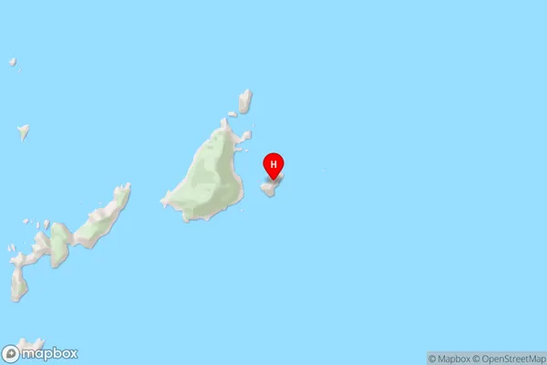
The Aldermen IslandsThe Spire Area Map (Street)
Local Authority
Thames-Coromandel DistrictFull Address
The Spire, Thames-Coromandel District, New ZealandAddress Type
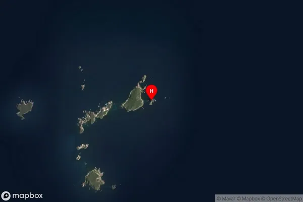
IslandThe Spire Suburb Map (Satellite)
Country
Main Region in AU
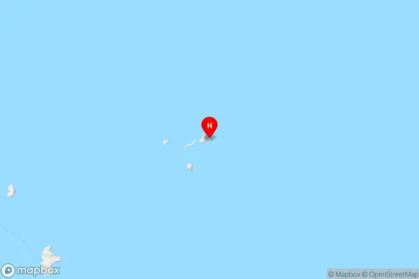
WaikatoThe Spire Region Map
Coordinates
-36.953501,176.100741056518 (latitude/longitude)Distances
The distance from The Spire, , Thames-Coromandel District to NZ Top 10 Cities