The Sister Rocks Area, The Sister Rocks Postcode(3500) & Map in The Sister Rocks
The Sister Rocks Area, The Sister Rocks Postcode(3500) & Map in The Sister Rocks, Thames-Coromandel District, New Zealand
The Sister Rocks, Thames-Coromandel District, New Zealand
The Sister Rocks Postcodes
The Sister Rocks Area (estimated)
0.0 square kilometersThe Sister Rocks Population (estimated)
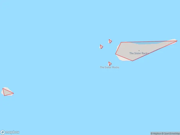
0 people live in The Sister Rocks, Waikato, NZThe Sister Rocks Suburb Area Map (Polygon)
The Sister Rocks Introduction
The Sister Rocks are two rocks off the coast of Waikato, New Zealand. They are known for their unique shape and are a popular tourist attraction. The rocks are about 100 meters high and are located about 2 kilometers off the coast. They are a popular spot for fishing, diving, and snorkeling.Region
Suburb Name
The Sister RocksOther Name(s)
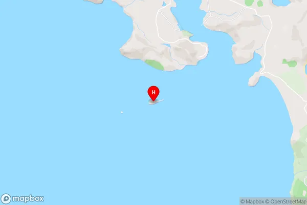
Mercury IslandsThe Sister Rocks Area Map (Street)
Local Authority
Thames-Coromandel DistrictFull Address
The Sister Rocks, Thames-Coromandel District, New ZealandAddress Type
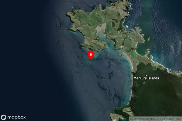
IslandThe Sister Rocks Suburb Map (Satellite)
Country
Main Region in AU
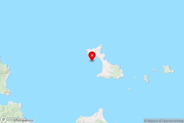
WaikatoThe Sister Rocks Region Map
Coordinates
-36.609319,175.76471321389 (latitude/longitude)Distances
The distance from The Sister Rocks, , Thames-Coromandel District to NZ Top 10 Cities