Harrowfield Area, Harrowfield Postcode(3200) & Map in Harrowfield
Harrowfield Area, Harrowfield Postcode(3200) & Map in Harrowfield, Hamilton City, New Zealand
Harrowfield, Hamilton City, New Zealand
Harrowfield Area (estimated)
0.6 square kilometersHarrowfield Population (estimated)
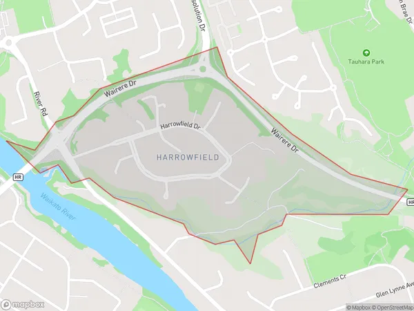
510 people live in Harrowfield, Hamilton, NZHarrowfield Suburb Area Map (Polygon)
Harrowfield Introduction
Harrowfield is a small rural town in Hamilton, Waikato, New Zealand. It is located on State Highway 1, 25 km south of Hamilton City. The town has a population of around 200 people and is known for its historic stone buildings and peaceful atmosphere. The local primary school is Harrowfield School, and the town also has a community hall and a sports club.Region
Major City
Suburb Name
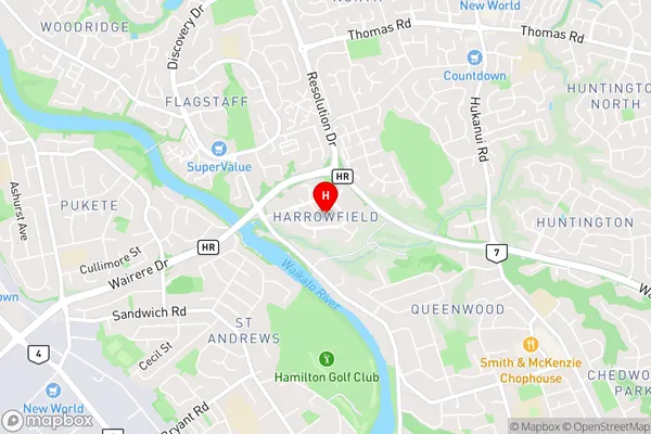
HarrowfieldHarrowfield Area Map (Street)
Local Authority
Hamilton CityFull Address
Harrowfield, Hamilton City, New ZealandAddress Type
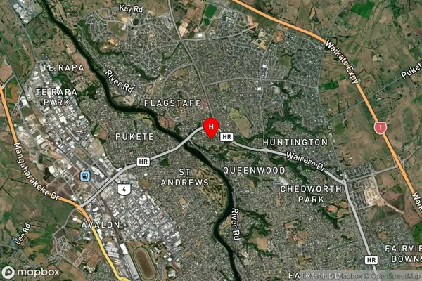
Suburb in City HamiltonHarrowfield Suburb Map (Satellite)
Country
Main Region in AU
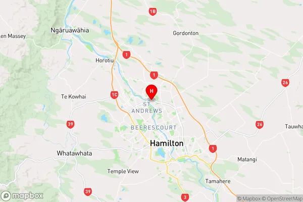
WaikatoHarrowfield Region Map
Coordinates
-37.7424511,175.2612448 (latitude/longitude)Distances
The distance from Harrowfield, Hamilton, Hamilton City to NZ Top 10 Cities