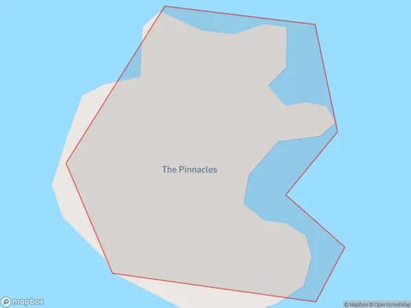
The Pinnacles Area, The Pinnacles Postcode(3500) & Map in The Pinnacles
The Pinnacles Area, The Pinnacles Postcode(3500) & Map in The Pinnacles, Thames-Coromandel District, New Zealand
The Pinnacles, Thames-Coromandel District, New Zealand
The Pinnacles Postcodes
The Pinnacles Area (estimated)
0.0 square kilometersThe Pinnacles Population (estimated)
0 people live in The Pinnacles, Waikato, NZThe Pinnacles Suburb Area Map (Polygon)
The Pinnacles Introduction
The Pinnacles is a limestone formation located in the Waikato region of New Zealand. It is a popular tourist attraction known for its unique rock formations and stunning views. The Pinnacles are a result of volcanic activity that occurred millions of years ago. The formation consists of tall, slender pillars of limestone that rise up from the surrounding landscape.Region
Suburb Name
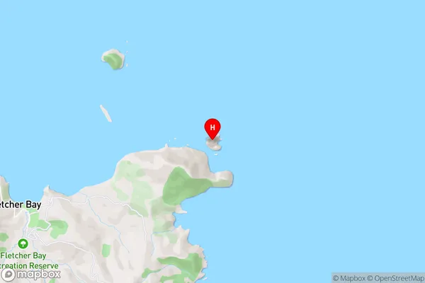
The PinnaclesThe Pinnacles Area Map (Street)
Local Authority
Thames-Coromandel DistrictFull Address
The Pinnacles, Thames-Coromandel District, New ZealandAddress Type
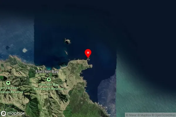
IslandThe Pinnacles Suburb Map (Satellite)
Country
Main Region in AU
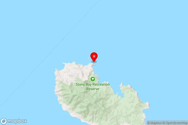
WaikatoThe Pinnacles Region Map
Coordinates
-36.47003435,175.413240241375 (latitude/longitude)Distances
The distance from The Pinnacles, , Thames-Coromandel District to NZ Top 10 Cities