The Long Boat Area, The Long Boat Postcode(7520) & Map in The Long Boat
The Long Boat Area, The Long Boat Postcode(7520) & Map in The Long Boat, Christchurch City, New Zealand
The Long Boat, Christchurch City, New Zealand
The Long Boat Postcodes
0The Long Boat Population (estimated)
0 people live in The Long Boat, Banks Peninsula Community, NZ0Region
Major City
Suburb Name
The Long BoatOther Name(s)
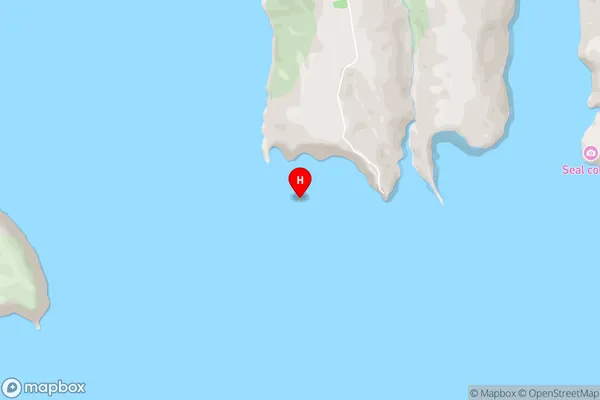
Akaroa HarbourThe Long Boat Area Map (Street)
Local Authority
Christchurch CityFull Address
The Long Boat, Christchurch City, New ZealandAddress Type
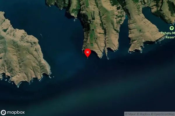
IslandThe Long Boat Suburb Map (Satellite)
Country
Main Region in AU
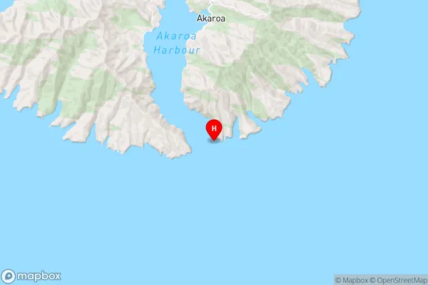
CanterburyThe Long Boat Region Map
Coordinates
-43.8902779,172.971701366007 (latitude/longitude)Distances
The distance from The Long Boat, , Christchurch City to NZ Top 10 Cities