The Island Area, The Island Postcode(9305) & Map in The Island
The Island Area, The Island Postcode(9305) & Map in The Island, Queenstown-Lakes District, New Zealand
The Island, Queenstown-Lakes District, New Zealand
The Island Postcodes
The Island Area (estimated)
1.6 square kilometersThe Island Population (estimated)
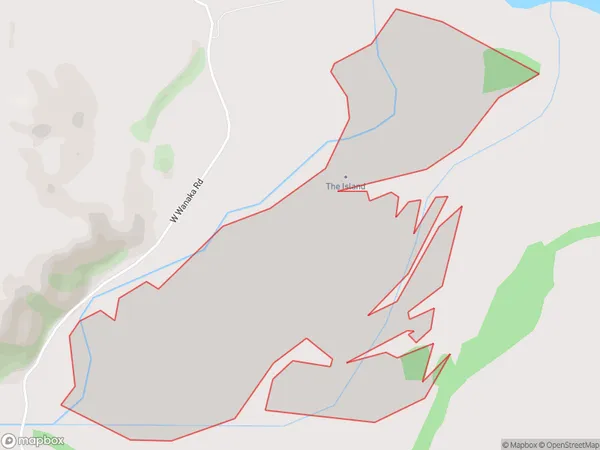
0 people live in The Island, Otago, NZThe Island Suburb Area Map (Polygon)
The Island Introduction
The Island is a small, uninhabited island in the Otago Harbour, New Zealand. It is part of the Otago Peninsula and is accessible by a short ferry ride from Dunedin. The island has a rich history, including being used as a prison and a leper colony. It is now a popular tourist destination and is known for its stunning natural beauty, including beaches, cliffs, and wildlife.Region
Suburb Name
The IslandOther Name(s)
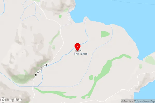
Lake Wanaka (Maori Name: Lake Wānaka)The Island Area Map (Street)
Local Authority
Queenstown-Lakes DistrictFull Address
The Island, Queenstown-Lakes District, New ZealandAddress Type
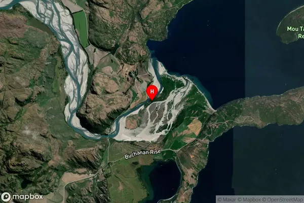
IslandThe Island Suburb Map (Satellite)
Country
Main Region in AU
OtagoThe Island Region Map

Coordinates
-44.6276414,169.006934175 (latitude/longitude)Distances
The distance from The Island, , Queenstown-Lakes District to NZ Top 10 Cities