Te Teko Island Area, Te Teko Island Postcode & Map in Te Teko Island
Te Teko Island Area, Te Teko Island Postcode & Map in Te Teko Island, Waikato District, New Zealand
Te Teko Island, Waikato District, New Zealand
Te Teko Island Area (estimated)
0.0 square kilometersTe Teko Island Population (estimated)
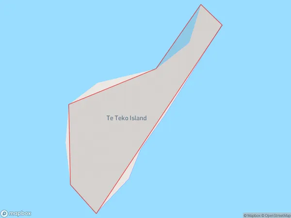
0 people live in Te Teko Island, Waikato, NZTe Teko Island Suburb Area Map (Polygon)
Te Teko Island Introduction
Te Teko Island is a small island in the Waikato River, located in the Waikato region of New Zealand. It is a popular destination for outdoor activities such as hiking, camping, and fishing, and is home to a variety of wildlife, including birds, bats, and insects. The island has a rich history and was once the site of a Māori village. It is also known for its stunning natural beauty, with rugged cliffs, sandy beaches, and crystal-clear waters.Region
Suburb Name
Te Teko IslandOther Name(s)
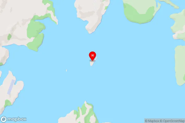
Whaingaroa HarbourTe Teko Island Area Map (Street)
Local Authority
Waikato DistrictFull Address
Te Teko Island, Waikato District, New ZealandAddress Type
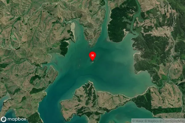
IslandTe Teko Island Suburb Map (Satellite)
Country
Main Region in AU
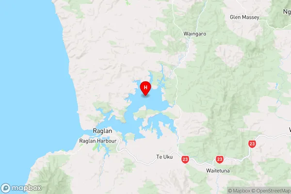
WaikatoTe Teko Island Region Map
Coordinates
-37.76191935,174.929241155473 (latitude/longitude)Distances
The distance from Te Teko Island, , Waikato District to NZ Top 10 Cities