Terakautuhaka Island Area, Terakautuhaka Island Postcode & Map in Terakautuhaka Island
Terakautuhaka Island Area, Terakautuhaka Island Postcode & Map in Terakautuhaka Island, Far North District, New Zealand
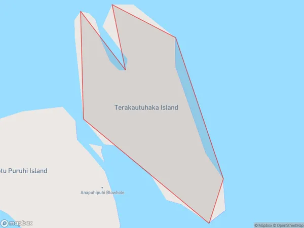
Terakautuhaka Island, Far North District, New Zealand
Terakautuhaka Island Area (estimated)
0.0 square kilometersTerakautuhaka Island Population (estimated)
0 people live in Terakautuhaka Island, Northland, NZTerakautuhaka Island Suburb Area Map (Polygon)
Terakautuhaka Island Introduction
Terakautuhaka Island is a small, uninhabited island in the Bay of Islands, Northland, New Zealand. It is known for its stunning natural beauty, including rugged cliffs, pristine beaches, and diverse marine life. The island is a popular destination for hiking, kayaking, and birdwatching, and is part of the Terakautuhaka Island Marine Reserve.Region
Suburb Name
Terakautuhaka IslandOther Name(s)
Simmonds Islands, Henderson BayTerakautuhaka Island Area Map (Street)

Local Authority
Far North DistrictFull Address
Terakautuhaka Island, Far North District, New ZealandAddress Type
IslandTerakautuhaka Island Suburb Map (Satellite)

Country
Main Region in AU
NorthlandTerakautuhaka Island Region Map

Coordinates
-34.7550585,173.15664609092 (latitude/longitude)Distances
The distance from Terakautuhaka Island, , Far North District to NZ Top 10 Cities