Harewood Area, Harewood Postcode(8053) & Map in Harewood
Harewood Area, Harewood Postcode(8053) & Map in Harewood, Christchurch City, New Zealand
Harewood, Christchurch City, New Zealand
Harewood Area (estimated)
13.8 square kilometersHarewood Population (estimated)
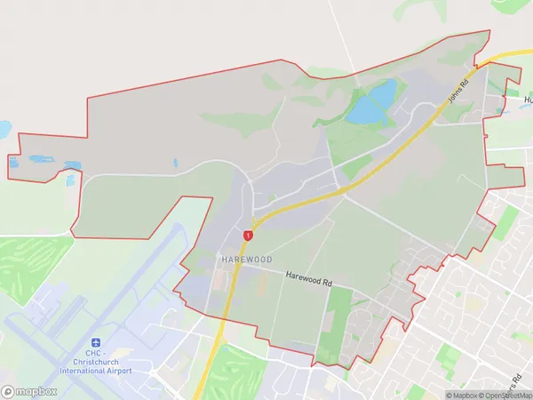
2849 people live in Harewood, Christchurch, NZHarewood Suburb Area Map (Polygon)
Harewood Introduction
Harewood is a suburb of Christchurch, New Zealand, located in the eastern suburbs of the city. It is known for its historic homes and gardens, including the Harewood House, which is a former royal residence. The suburb has a peaceful and tranquil atmosphere, with many parks and recreational facilities. It is also home to a variety of shops and restaurants, making it a popular destination for locals and visitors alike.Region
Major City
Suburb Name
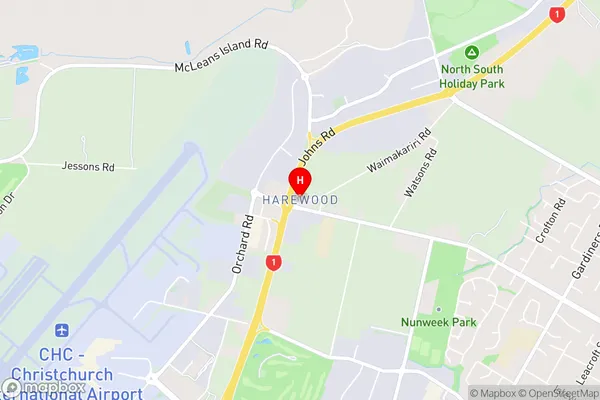
HarewoodHarewood Area Map (Street)
Local Authority
Christchurch CityFull Address
Harewood, Christchurch City, New ZealandAddress Type
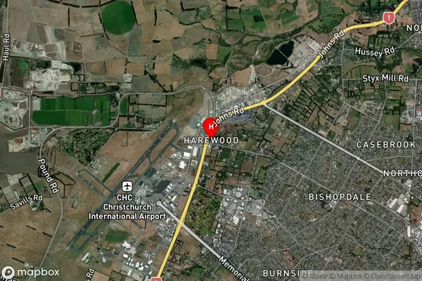
Suburb in City ChristchurchHarewood Suburb Map (Satellite)
Country
Main Region in AU
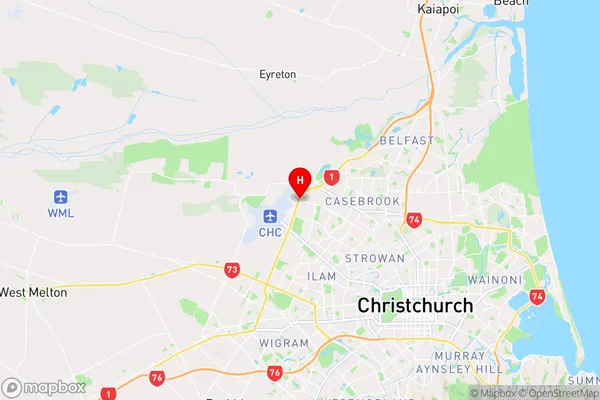
CanterburyHarewood Region Map
Coordinates
-43.4784203,172.55728 (latitude/longitude)Distances
The distance from Harewood, Christchurch, Christchurch City to NZ Top 10 Cities