Te Oneatahu Island Area, Te Oneatahu Island Postcode(4108) & Map in Te Oneatahu Island
Te Oneatahu Island Area, Te Oneatahu Island Postcode(4108) & Map in Te Oneatahu Island, Wairoa District, New Zealand
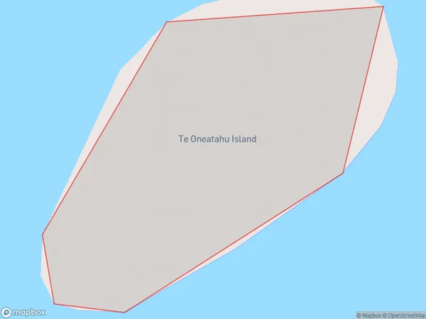
Te Oneatahu Island, Wairoa District, New Zealand
Te Oneatahu Island Postcodes
Te Oneatahu Island Area (estimated)
0.0 square kilometersTe Oneatahu Island Population (estimated)
0 people live in Te Oneatahu Island, Hawke's Bay, NZTe Oneatahu Island Suburb Area Map (Polygon)
Te Oneatahu Island Introduction
Te Oneatahu Island is located in Hawke's Bay, New Zealand, and is a significant historical and cultural site for the local Māori people. It is known for its stunning natural beauty, including rugged cliffs, sandy beaches, and lush forests. The island has a rich history, with evidence of early Māori settlement dating back thousands of years. It was also the site of a significant battle during the New Zealand Wars in 1864. Today, Te Oneatahu Island is a popular tourist destination and is home to a community of around 100 people.Region
Suburb Name
Te Oneatahu IslandOther Name(s)
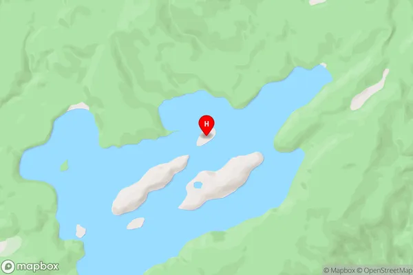
Lake WaikareitiTe Oneatahu Island Area Map (Street)
Local Authority
Wairoa DistrictFull Address
Te Oneatahu Island, Wairoa District, New ZealandAddress Type
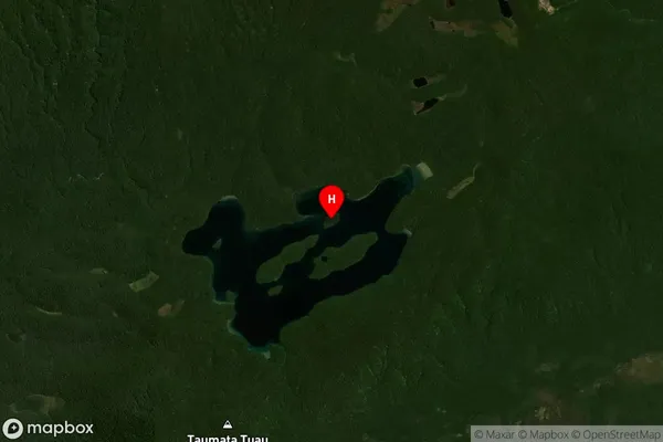
IslandTe Oneatahu Island Suburb Map (Satellite)
Country
Main Region in AU
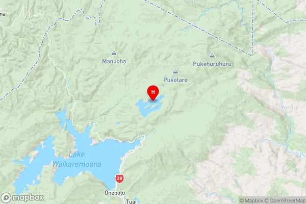
Hawke's BayTe Oneatahu Island Region Map
Coordinates
-38.7078829,177.174144600327 (latitude/longitude)Distances
The distance from Te Oneatahu Island, , Wairoa District to NZ Top 10 Cities