Te Motu Island Area, Te Motu Island Postcode(3843) & Map in Te Motu Island
Te Motu Island Area, Te Motu Island Postcode(3843) & Map in Te Motu Island, Otorohanga District, New Zealand
Te Motu Island, Otorohanga District, New Zealand
Te Motu Island Postcodes
Te Motu Island Area (estimated)
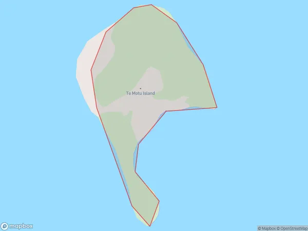
0.2 square kilometersTe Motu Island Population (estimated)
0 people live in Te Motu Island, Waikato, NZTe Motu Island Suburb Area Map (Polygon)
Region
Suburb Name
Te Motu IslandOther Name(s)
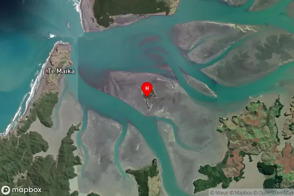
Kawhia HarbourTe Motu Island Area Map (Street)

Local Authority
Otorohanga District (Maori Name: Ōtorohanga District)Full Address
Te Motu Island, Otorohanga District, New ZealandAddress Type
IslandTe Motu Island Suburb Map (Satellite)
Country
Main Region in AU
WaikatoTe Motu Island Region Map

Coordinates
-38.1025265,174.801775424078 (latitude/longitude)Distances
The distance from Te Motu Island, , Otorohanga District to NZ Top 10 Cities