Te Kakaho Island Area, Te Kakaho Island Postcode & Map in Te Kakaho Island
Te Kakaho Island Area, Te Kakaho Island Postcode & Map in Te Kakaho Island, Marlborough District, New Zealand
Te Kakaho Island, Marlborough District, New Zealand
Te Kakaho Island Area (estimated)
1.0 square kilometersTe Kakaho Island Population (estimated)
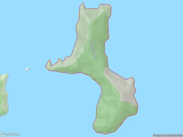
0 people live in Te Kakaho Island, Marlborough, NZTe Kakaho Island Suburb Area Map (Polygon)
Te Kakaho Island Introduction
Te Kakaho Island is a small, uninhabited island in the Marlborough Sounds, New Zealand. It is known for its stunning natural beauty, including lush forests, crystal-clear waters, and stunning rock formations. The island is a popular destination for hiking, kayaking, and wildlife watching, with a variety of bird species and marine life. It is also home to a small population of seals and is a protected area under the New Zealand Department of Conservation.Region
0Suburb Name
Te Kakaho Island (Maori Name: Te Kākaho Island)Other Name(s)
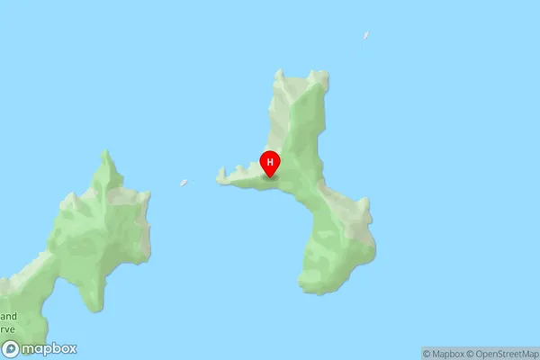
Chetwode IslandsTe Kakaho Island Area Map (Street)
Local Authority
Marlborough DistrictFull Address
Te Kakaho Island, Marlborough District, New ZealandAddress Type
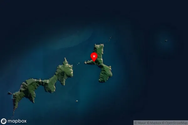
Island in Major Locality Marlborough SoundsTe Kakaho Island Suburb Map (Satellite)
Country
Main Region in AU
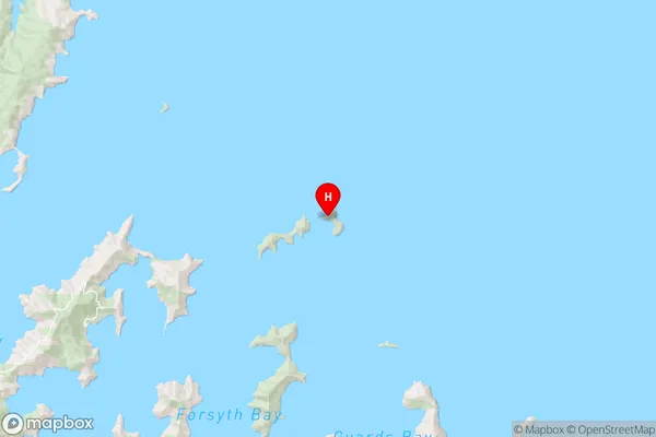
MarlboroughTe Kakaho Island Region Map
Coordinates
-40.89094145,174.101157068937 (latitude/longitude)Distances
The distance from Te Kakaho Island, Marlborough Sounds, Marlborough District to NZ Top 10 Cities