Te Kahaatuwai Island Area, Te Kahaatuwai Island Postcode(4108) & Map in Te Kahaatuwai Island
Te Kahaatuwai Island Area, Te Kahaatuwai Island Postcode(4108) & Map in Te Kahaatuwai Island, Wairoa District, New Zealand
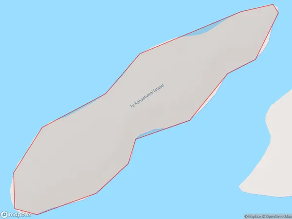
Te Kahaatuwai Island, Wairoa District, New Zealand
Te Kahaatuwai Island Postcodes
Te Kahaatuwai Island Area (estimated)
0.2 square kilometersTe Kahaatuwai Island Population (estimated)
0 people live in Te Kahaatuwai Island, Hawke's Bay, NZTe Kahaatuwai Island Suburb Area Map (Polygon)
Te Kahaatuwai Island Introduction
Te Kahaatuwai Island is a small, uninhabited island located in the Hawke's Bay region of New Zealand. It is known for its stunning natural beauty, including rugged cliffs, sandy beaches, and diverse wildlife. The island is a popular destination for hiking, camping, and birdwatching, and is part of the Te Kahika National Park.Region
Suburb Name
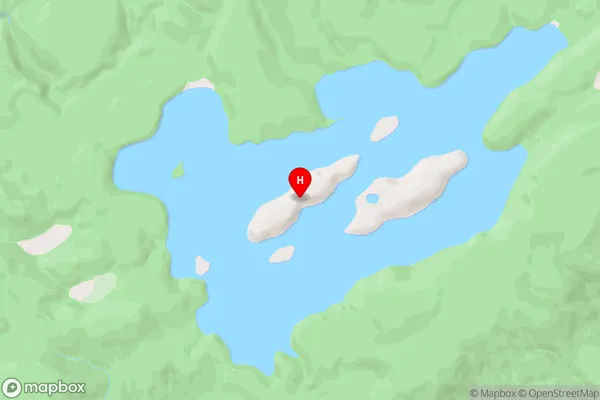
Te Kahaatuwai IslandOther Name(s)
Lake WaikareitiTe Kahaatuwai Island Area Map (Street)
Local Authority
Wairoa DistrictFull Address
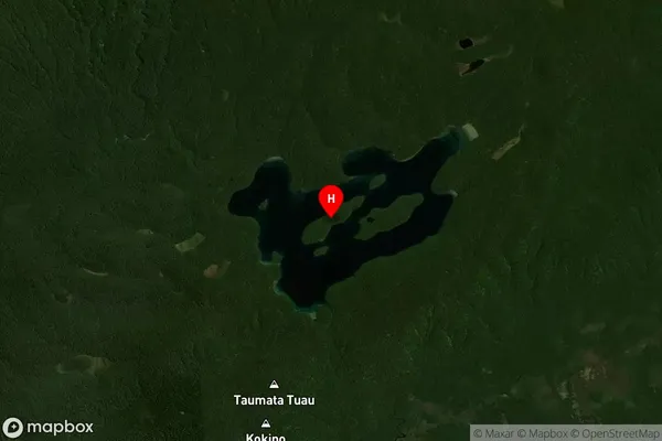
Te Kahaatuwai Island, Wairoa District, New ZealandAddress Type
IslandTe Kahaatuwai Island Suburb Map (Satellite)
Country
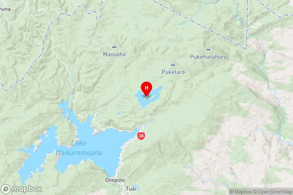
Main Region in AU
Hawke's BayTe Kahaatuwai Island Region Map
Coordinates
-38.7126155,177.16685115905 (latitude/longitude)Distances
The distance from Te Kahaatuwai Island, , Wairoa District to NZ Top 10 Cities