Te Huka Island Area, Te Huka Island Postcode(3122) & Map in Te Huka Island
Te Huka Island Area, Te Huka Island Postcode(3122) & Map in Te Huka Island, Opotiki District, New Zealand
Te Huka Island, Opotiki District, New Zealand
Te Huka Island Postcodes
Te Huka Island Area (estimated)
0.0 square kilometersTe Huka Island Population (estimated)
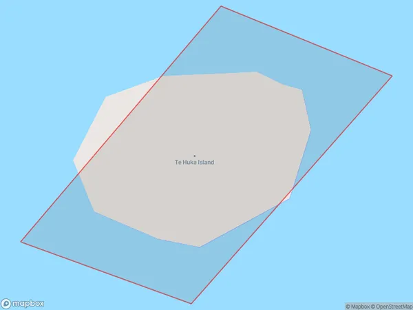
0 people live in Te Huka Island, Bay of Plenty, NZTe Huka Island Suburb Area Map (Polygon)
Te Huka Island Introduction
Te Huka Island is located in the Bay of Plenty, New Zealand. It is known for its stunning natural beauty, including crystal-clear waters, rugged cliffs, and lush forests. The island is a popular destination for hiking, kayaking, and wildlife watching, with a variety of species of birds and marine life. Visitors can also explore the ancient ruins of a Maori settlement on the island.Region
Suburb Name
Te Huka IslandOther Name(s)
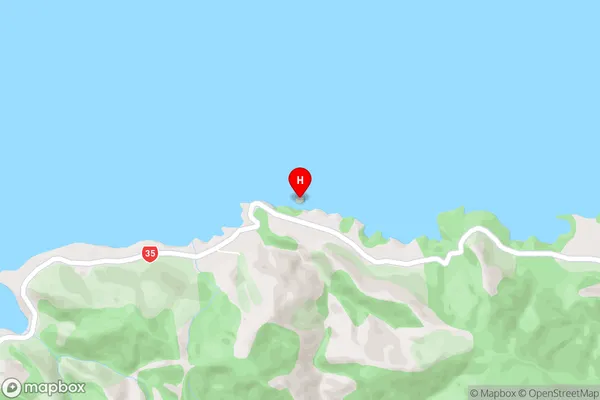
Bay Of PlentyTe Huka Island Area Map (Street)
Local Authority
Opotiki District (Maori Name: Ōpōtiki District)Full Address
Te Huka Island, Opotiki District, New ZealandAddress Type
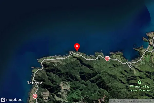
IslandTe Huka Island Suburb Map (Satellite)
Country
Main Region in AU
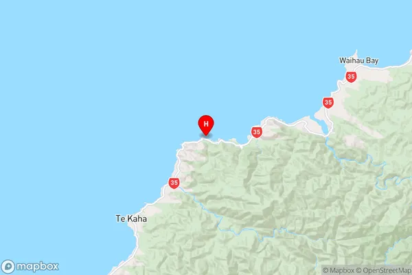
Bay of PlentyTe Huka Island Region Map
Coordinates
-37.67503455,177.753255910442 (latitude/longitude)Distances
The distance from Te Huka Island, , Opotiki District to NZ Top 10 Cities