Te Horo Island Area, Te Horo Island Postcode & Map in Te Horo Island
Te Horo Island Area, Te Horo Island Postcode & Map in Te Horo Island, Marlborough District, New Zealand
Te Horo Island, Marlborough District, New Zealand
- 0
Te Horo Island Population (estimated)
0 people live in Te Horo Island, Marlborough, NZ0Te Horo Island Introduction
Te Horo Island is a small, uninhabited island in the Marlborough Sounds of New Zealand. It is known for its stunning natural beauty, including rugged cliffs, lush forests, and crystal-clear waters. The island is a popular destination for hiking, kayaking, and wildlife watching, with a variety of bird species and marine life. It is also home to a historic lighthouse, built in 1877, which provides a picturesque backdrop to the island's natural wonders.Region
0Suburb Name
Te Horo IslandOther Name(s)
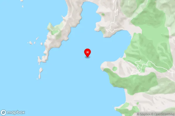
ManuhakapakapaTe Horo Island Area Map (Street)
Local Authority
Marlborough DistrictFull Address
Te Horo Island, Marlborough District, New ZealandAddress Type
Island in Major Locality Marlborough SoundsTe Horo Island Suburb Map (Satellite)

Country
Main Region in AU
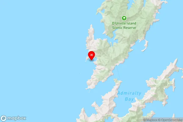
MarlboroughTe Horo Island Region Map
Coordinates
-40.89444515,173.785048165833 (latitude/longitude)Distances
The distance from Te Horo Island, Marlborough Sounds, Marlborough District to NZ Top 10 Cities