Te Haupa Island Area, Te Haupa Island Postcode & Map in Te Haupa Island
Te Haupa Island Area, Te Haupa Island Postcode & Map in Te Haupa Island, Auckland,
Te Haupa Island, Auckland,
Te Haupa Island Area (estimated)
0.1 square kilometersTe Haupa Island Population (estimated)
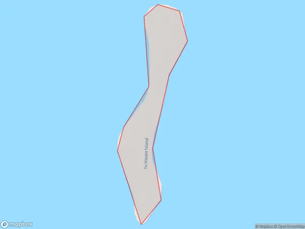
0 people live in Te Haupa Island, Brighton, NZTe Haupa Island Suburb Area Map (Polygon)
Te Haupa Island Introduction
Te Haupa Island is a small island located in the Otago Harbour, south of Dunedin, New Zealand. It is known for its stunning natural beauty, including rugged cliffs, lush forests, and pristine beaches. The island is a popular destination for hiking, camping, and wildlife viewing, with a variety of bird species and marine life. It is also home to a historic Maori settlement and a small museum.Region
Major City
Suburb Name
Te Haupa IslandOther Name(s)
Saddle Island, Hauraki GulfTe Haupa Island Area Map (Street)
Local Authority
AucklandFull Address
Te Haupa Island, Auckland,Address Type
IslandTe Haupa Island Suburb Map (Satellite)
Country
Main Region in AU
OtagoTe Haupa Island Region Map
Coordinates
0,0 (latitude/longitude)Distances
The distance from Te Haupa Island, , Auckland to NZ Top 10 Cities