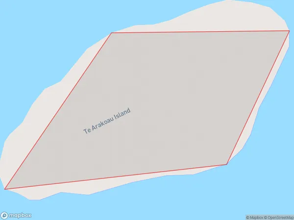
Te Arakoau Island Area, Te Arakoau Island Postcode(4108) & Map in Te Arakoau Island
Te Arakoau Island Area, Te Arakoau Island Postcode(4108) & Map in Te Arakoau Island, Wairoa District, New Zealand
Te Arakoau Island, Wairoa District, New Zealand
Te Arakoau Island Postcodes
Te Arakoau Island Area (estimated)
0.0 square kilometersTe Arakoau Island Population (estimated)
0 people live in Te Arakoau Island, Hawke's Bay, NZTe Arakoau Island Suburb Area Map (Polygon)
Te Arakoau Island Introduction
Te Arakoau Island is a small, predator-free island located in the Hawke's Bay region of New Zealand. It is a popular destination for birdwatching and nature walks, with a variety of native species including tui, kereru, and kiwi. The island also has a historic stone fortification built by the British in the 18th century.Region
Suburb Name
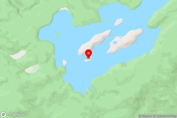
Te Arakoau IslandOther Name(s)
Lake WaikareitiTe Arakoau Island Area Map (Street)
Local Authority
Wairoa DistrictFull Address
Te Arakoau Island, Wairoa District, New ZealandAddress Type
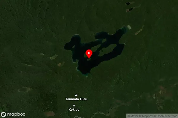
IslandTe Arakoau Island Suburb Map (Satellite)
Country
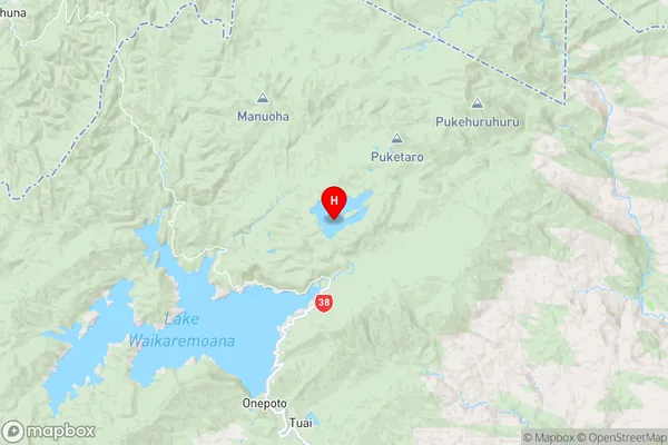
Main Region in AU
Hawke's BayTe Arakoau Island Region Map
Coordinates
-38.7162474,177.165379326862 (latitude/longitude)Distances
The distance from Te Arakoau Island, , Wairoa District to NZ Top 10 Cities