Te Ao Island Area, Te Ao Island Postcode & Map in Te Ao Island
Te Ao Island Area, Te Ao Island Postcode & Map in Te Ao Island, Far North District, New Zealand
Te Ao Island, Far North District, New Zealand
Te Ao Island Area (estimated)
0.0 square kilometersTe Ao Island Population (estimated)
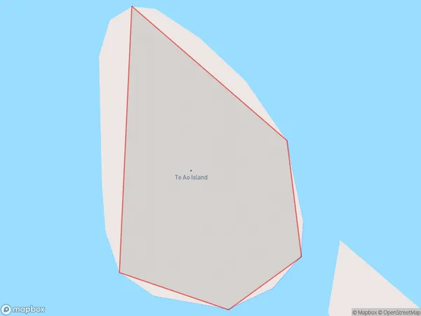
0 people live in Te Ao Island, Bay of Islands-Whangaroa Community, NZTe Ao Island Suburb Area Map (Polygon)
Te Ao Island Introduction
Te Ao Island is a volcanic island in the Bay of Islands, Northland, New Zealand. It is known for its stunning natural beauty, including crystal-clear waters, lush forests, and dramatic cliffs. The island is a popular destination for hiking, kayaking, and snorkeling, and is home to a variety of wildlife, including rare birds and marine mammals.Region
Major City
Suburb Name
Te Ao IslandOther Name(s)
Te Rawhiti InletTe Ao Island Area Map (Street)

Local Authority
Far North DistrictFull Address
Te Ao Island, Far North District, New ZealandAddress Type
IslandTe Ao Island Suburb Map (Satellite)

Country
Main Region in AU
NorthlandTe Ao Island Region Map

Coordinates
-35.2274667,174.241228422753 (latitude/longitude)Distances
The distance from Te Ao Island, , Far North District to NZ Top 10 Cities