Happy Valley Area, Happy Valley Postcode & Map in Happy Valley
Happy Valley Area, Happy Valley Postcode & Map in Happy Valley, Southland District, New Zealand
Happy Valley, Southland District, New Zealand
Happy Valley Area (estimated)
68.9 square kilometersHappy Valley Population (estimated)
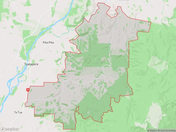
48 people live in Happy Valley, Tuatapere Te Waewae Community, NZHappy Valley Suburb Area Map (Polygon)
Happy Valley Introduction
Happy Valley is a small rural community in Southland, New Zealand. It is located in the Tuatapere District and is surrounded by stunning natural scenery, including mountains, forests, and rivers. The community has a population of around 100 people and is known for its friendly and welcoming atmosphere. The area is popular with outdoor enthusiasts, with many opportunities for hiking, fishing, and hunting. There is also a local school and a community hall, which hosts regular events and activities for the community.Region
Major City
Suburb Name
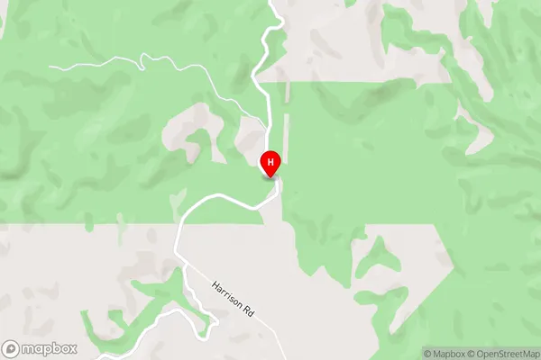
Happy ValleyHappy Valley Area Map (Street)
Local Authority
Southland DistrictFull Address
Happy Valley, Southland District, New ZealandAddress Type
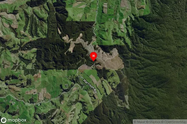
Locality in Town TuatapereHappy Valley Suburb Map (Satellite)
Country
Main Region in AU
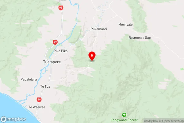
SouthlandHappy Valley Region Map
Coordinates
-46.1316271,167.7805638 (latitude/longitude)Distances
The distance from Happy Valley, Tuatapere, Southland District to NZ Top 10 Cities