Te Anaputa Island Area, Te Anaputa Island Postcode & Map in Te Anaputa Island
Te Anaputa Island Area, Te Anaputa Island Postcode & Map in Te Anaputa Island, Area outside Territorial Authority, New Zealand
Te Anaputa Island, Area outside Territorial Authority, New Zealand
Te Anaputa Island Area (estimated)
0.0 square kilometersTe Anaputa Island Population (estimated)
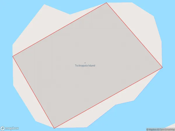
0 people live in Te Anaputa Island, Northland, NZTe Anaputa Island Suburb Area Map (Polygon)
Te Anaputa Island Introduction
Te Anaputa Island is a small island located off the coast of Northland, New Zealand. It is known for its stunning natural beauty, including rugged cliffs, pristine beaches, and diverse marine life. The island is a popular destination for hiking, camping, and snorkeling, and is home to a small community of people who live off the land.Region
Suburb Name
Te Anaputa IslandOther Name(s)
Cavalli IslandsTe Anaputa Island Area Map (Street)

Local Authority
Area outside Territorial AuthorityFull Address
Te Anaputa Island, Area outside Territorial Authority, New ZealandAddress Type
IslandTe Anaputa Island Suburb Map (Satellite)

Country
Main Region in AU
NorthlandTe Anaputa Island Region Map

Coordinates
-35.00002885,173.962371068259 (latitude/longitude)Distances
The distance from Te Anaputa Island, , Area outside Territorial Authority to NZ Top 10 Cities