Tawiriwiri Island Area, Tawiriwiri Island Postcode & Map in Tawiriwiri Island
Tawiriwiri Island Area, Tawiriwiri Island Postcode & Map in Tawiriwiri Island, Far North District, New Zealand
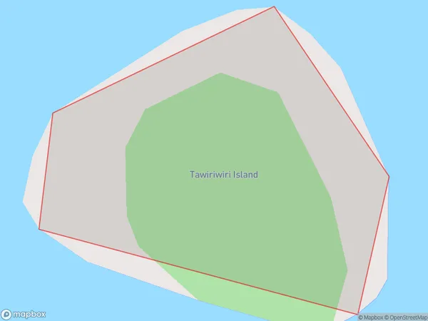
Tawiriwiri Island, Far North District, New Zealand
Tawiriwiri Island Area (estimated)
0.0 square kilometersTawiriwiri Island Population (estimated)
0 people live in Tawiriwiri Island, Bay of Islands-Whangaroa Community, NZTawiriwiri Island Suburb Area Map (Polygon)
Tawiriwiri Island Introduction
Tawiriwiri Island is located in the Bay of Islands, Northland, New Zealand. It is a small, uninhabited island with a rich history and stunning natural beauty. The island is known for its stunning beaches, crystal-clear waters, and diverse marine life, including dolphins, whales, and sea turtles. Tawiriwiri Island is a popular destination for outdoor enthusiasts, with opportunities for hiking, kayaking, and snorkeling. It is also home to a historic stone fort, built by the British in the 18th century to protect the Bay of Islands from French invaders.Region
Major City
Suburb Name
Tawiriwiri IslandOther Name(s)
Te Rawhiti InletTawiriwiri Island Area Map (Street)

Local Authority
Far North DistrictFull Address
Tawiriwiri Island, Far North District, New ZealandAddress Type
IslandTawiriwiri Island Suburb Map (Satellite)

Country
Main Region in AU
NorthlandTawiriwiri Island Region Map

Coordinates
-35.22936175,174.255014682174 (latitude/longitude)Distances
The distance from Tawiriwiri Island, , Far North District to NZ Top 10 Cities