Tawhitinui Island Area, Tawhitinui Island Postcode & Map in Tawhitinui Island
Tawhitinui Island Area, Tawhitinui Island Postcode & Map in Tawhitinui Island, Marlborough District, New Zealand
Tawhitinui Island, Marlborough District, New Zealand
Tawhitinui Island Area (estimated)
0.3 square kilometersTawhitinui Island Population (estimated)
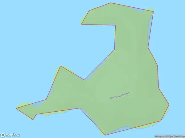
0 people live in Tawhitinui Island, Marlborough, NZTawhitinui Island Suburb Area Map (Polygon)
Tawhitinui Island Introduction
Tawhitinui Island is located in the Marlborough Sounds of New Zealand. It is a popular spot for swimming, kayaking, and hiking. The island has a rich history and is home to a variety of wildlife, including seals, penguins, and dolphins. Visitors can also explore the historic ruins of a Maori settlement on the island.Region
0Suburb Name
Tawhitinui IslandOther Name(s)
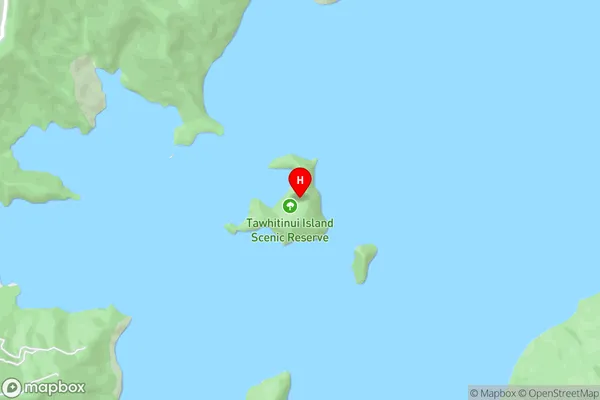
Tennyson InletTawhitinui Island Area Map (Street)
Local Authority
Marlborough DistrictFull Address
Tawhitinui Island, Marlborough District, New ZealandAddress Type
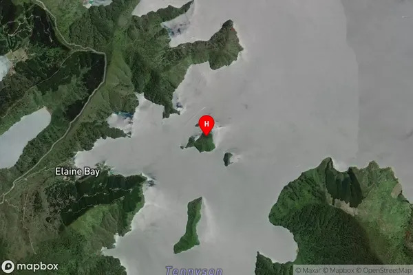
Island in Major Locality Marlborough SoundsTawhitinui Island Suburb Map (Satellite)
Country
Main Region in AU
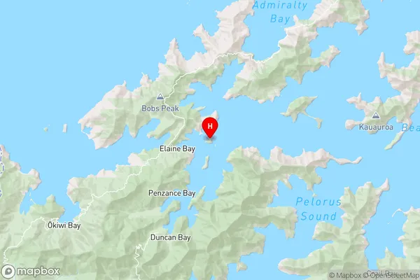
MarlboroughTawhitinui Island Region Map
Coordinates
-41.04899355,173.801418083967 (latitude/longitude)Distances
The distance from Tawhitinui Island, Marlborough Sounds, Marlborough District to NZ Top 10 Cities