Taungahaika Islands Area, Taungahaika Islands Postcode & Map in Taungahaika Islands
Taungahaika Islands Area, Taungahaika Islands Postcode & Map in Taungahaika Islands, Marlborough District, New Zealand
Taungahaika Islands, Marlborough District, New Zealand
Taungahaika Islands Area (estimated)
-1.2 square kilometersTaungahaika Islands Population (estimated)
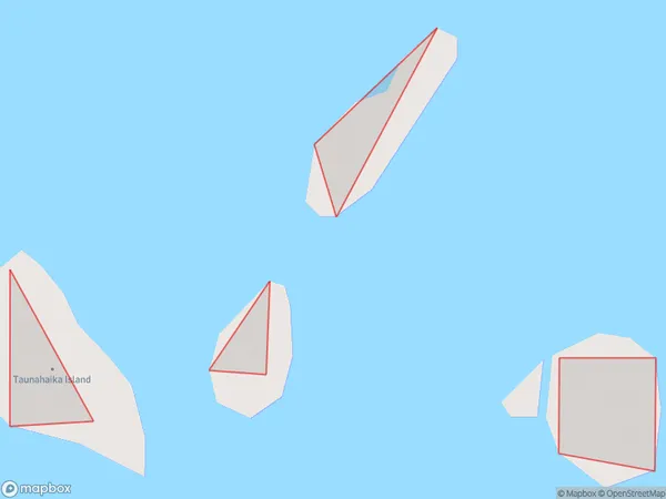
0 people live in Taungahaika Islands, Marlborough, NZTaungahaika Islands Suburb Area Map (Polygon)
Taungahaika Islands Introduction
The Taungahaika Islands are a group of islands located in the Marlborough Sounds, Marlborough, New Zealand. They are known for their stunning natural beauty, including rugged cliffs, pristine beaches, and diverse wildlife. The islands are a popular destination for hiking, kayaking, and wildlife watching, and are part of the Marlborough Sounds Marine Reserve.Region
0Suburb Name
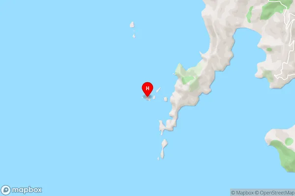
Taungahaika IslandsTaungahaika Islands Area Map (Street)
Local Authority
Marlborough DistrictFull Address
Taungahaika Islands, Marlborough District, New ZealandAddress Type
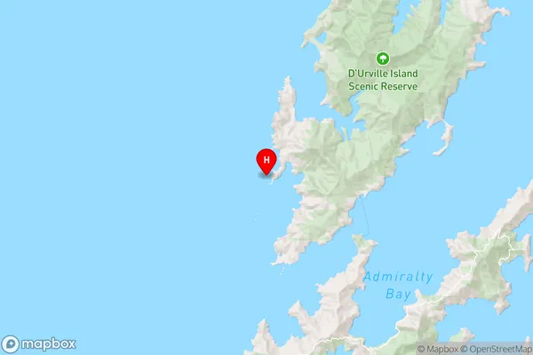
Island in Major Locality Marlborough SoundsTaungahaika Islands Suburb Map (Satellite)

Country
Main Region in AU
MarlboroughTaungahaika Islands Region Map
Coordinates
-40.8911126,173.768362815257 (latitude/longitude)Distances
The distance from Taungahaika Islands, Marlborough Sounds, Marlborough District to NZ Top 10 Cities