Taumaka Island Area, Taumaka Island Postcode & Map in Taumaka Island
Taumaka Island Area, Taumaka Island Postcode & Map in Taumaka Island, Westland District, New Zealand
Taumaka Island, Westland District, New Zealand
Taumaka Island Area (estimated)
0.2 square kilometersTaumaka Island Population (estimated)
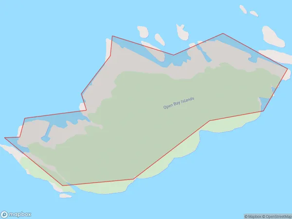
0 people live in Taumaka Island, West Coast, NZTaumaka Island Suburb Area Map (Polygon)
Taumaka Island Introduction
Taumaka Island is a volcanic island in the Tasman Sea, off the west coast of New Zealand's South Island. It is known for its unique geological features, including a large crater and a series of lava tubes. The island is a popular destination for tourists and scientists alike, with opportunities for hiking, wildlife viewing, and exploring the island's rich cultural heritage.Region
Suburb Name
Taumaka IslandOther Name(s)
Open Bay IslandsTaumaka Island Area Map (Street)

Local Authority
Westland DistrictFull Address
Taumaka Island, Westland District, New ZealandAddress Type
IslandTaumaka Island Suburb Map (Satellite)

Country
Main Region in AU
West CoastTaumaka Island Region Map

Coordinates
-43.8603867,168.884242863669 (latitude/longitude)Distances
The distance from Taumaka Island, , Westland District to NZ Top 10 Cities