Tataweka Island Area, Tataweka Island Postcode(3500) & Map in Tataweka Island
Tataweka Island Area, Tataweka Island Postcode(3500) & Map in Tataweka Island, Thames-Coromandel District, New Zealand
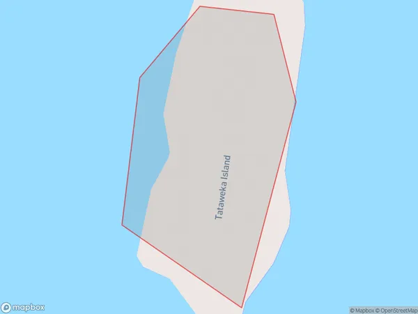
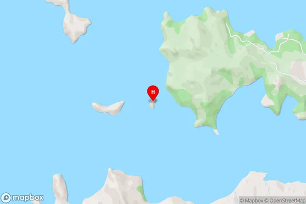
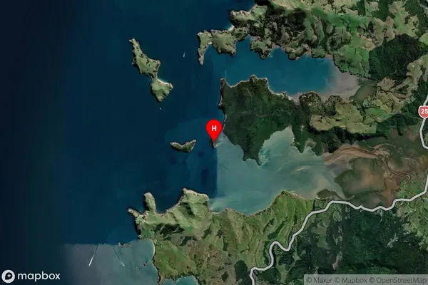
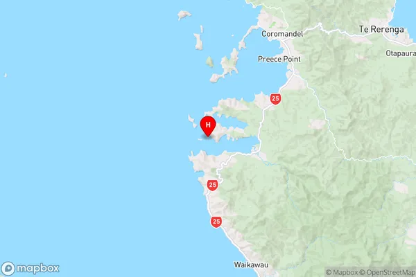
Tataweka Island, Thames-Coromandel District, New Zealand
Tataweka Island Postcodes
Tataweka Island Area (estimated)
0.0 square kilometersTataweka Island Population (estimated)
0 people live in Tataweka Island, Waikato, NZTataweka Island Suburb Area Map (Polygon)
Tataweka Island Introduction
Tataweka Island is a small, uninhabited island in the Waikato River, New Zealand. It is part of the Waikato Islands Conservation Reserve and is known for its significant bird population, including the rare tui. The island is accessible by boat and has a peaceful, natural atmosphere.Region
Suburb Name
Tataweka IslandOther Name(s)
Hauraki GulfTataweka Island Area Map (Street)
Local Authority
Thames-Coromandel DistrictFull Address
Tataweka Island, Thames-Coromandel District, New ZealandAddress Type
IslandTataweka Island Suburb Map (Satellite)
Country
Main Region in AU
WaikatoTataweka Island Region Map
Coordinates
-36.84034495,175.426983044056 (latitude/longitude)Distances
The distance from Tataweka Island, , Thames-Coromandel District to NZ Top 10 Cities