Tarakaipa Island Area, Tarakaipa Island Postcode & Map in Tarakaipa Island
Tarakaipa Island Area, Tarakaipa Island Postcode & Map in Tarakaipa Island, Marlborough District, New Zealand
Tarakaipa Island, Marlborough District, New Zealand
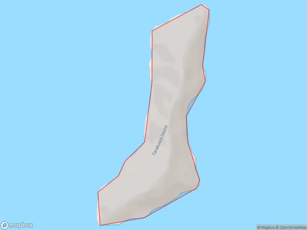
Tarakaipa Island Area (estimated)
0.4 square kilometersTarakaipa Island Population (estimated)
0 people live in Tarakaipa Island, Marlborough, NZTarakaipa Island Suburb Area Map (Polygon)
Tarakaipa Island Introduction
Tarakaipa Island is located in the Marlborough Sounds, Marlborough, New Zealand. It is a popular destination for outdoor activities such as hiking, kayaking, and wildlife viewing. The island has a rich history and is home to several ancient archaeological sites. It is also known for its stunning natural beauty, including crystal-clear waters, rugged cliffs, and lush forests.Region
0Suburb Name
Tarakaipa Island (Maori Name: Tarakaipā Island)Other Name(s)
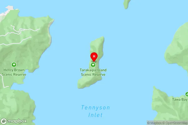
Tennyson InletTarakaipa Island Area Map (Street)
Local Authority
Marlborough DistrictFull Address
Tarakaipa Island, Marlborough District, New ZealandAddress Type
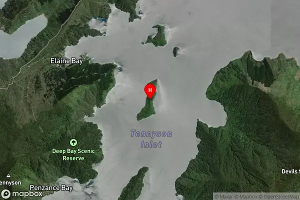
Island in Major Locality Marlborough SoundsTarakaipa Island Suburb Map (Satellite)
Country
Main Region in AU
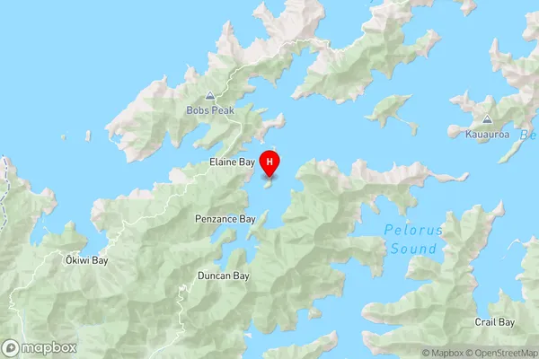
MarlboroughTarakaipa Island Region Map
Coordinates
-41.06550675,173.797850862916 (latitude/longitude)Distances
The distance from Tarakaipa Island, Marlborough Sounds, Marlborough District to NZ Top 10 Cities