Tangihana Shell Bank Area, Tangihana Shell Bank Postcode & Map in Tangihana Shell Bank
Tangihana Shell Bank Area, Tangihana Shell Bank Postcode & Map in Tangihana Shell Bank, Far North District, New Zealand
Tangihana Shell Bank, Far North District, New Zealand
Tangihana Shell Bank Area (estimated)
0.1 square kilometersTangihana Shell Bank Population (estimated)
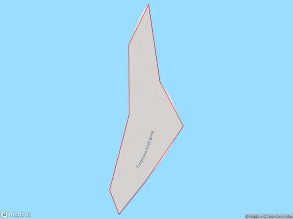
0 people live in Tangihana Shell Bank, Te Hiku Community, NZTangihana Shell Bank Suburb Area Map (Polygon)
Tangihana Shell Bank Introduction
Tangihanga Shell Bank is a historic site in Northland, New Zealand, that was once a significant meeting place for local Māori tribes. It is located on the banks of the Tangihanga River and is believed to have been used as a place of refuge and trade for over 100 years. The bank is now protected by the New Zealand Historic Places Trust and is a popular tourist attraction.Region
Major City
Suburb Name
Tangihana Shell BankOther Name(s)
Rangaunu HarbourTangihana Shell Bank Area Map (Street)

Local Authority
Far North DistrictFull Address
Tangihana Shell Bank, Far North District, New ZealandAddress Type
IslandTangihana Shell Bank Suburb Map (Satellite)

Country
Main Region in AU
NorthlandTangihana Shell Bank Region Map

Coordinates
-34.9166879,173.307802476495 (latitude/longitude)Distances
The distance from Tangihana Shell Bank, , Far North District to NZ Top 10 Cities