Taitomo Island Area, Taitomo Island Postcode(1148) & Map in Taitomo Island
Taitomo Island Area, Taitomo Island Postcode(1148) & Map in Taitomo Island, Auckland, New Zealand
Taitomo Island, Auckland, New Zealand
Taitomo Island Postcodes
Taitomo Island Area (estimated)
0.0 square kilometersTaitomo Island Population (estimated)
0 people live in Taitomo Island, Waitākere Ranges, NZTaitomo Island Suburb Area Map (Polygon)
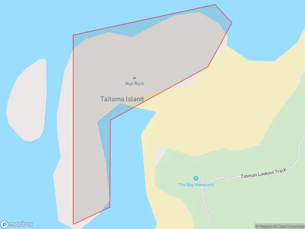
Taitomo Island Introduction
Taitomo Island is a small, uninhabited island in the Hauraki Gulf, located in Auckland, New Zealand. It is known for its beautiful beaches, lush vegetation, and stunning natural scenery. The island is a popular destination for outdoor activities such as hiking, kayaking, and fishing, and is also home to a variety of bird species. Taitomo Island has a rich history and was once used as a quarry and a military base. It is now protected as a wildlife reserve and is a popular tourist attraction.Region
Major City
Suburb Name
Taitomo IslandTaitomo Island Area Map (Street)

Local Authority
AucklandFull Address
Taitomo Island, Auckland, New ZealandAddress Type
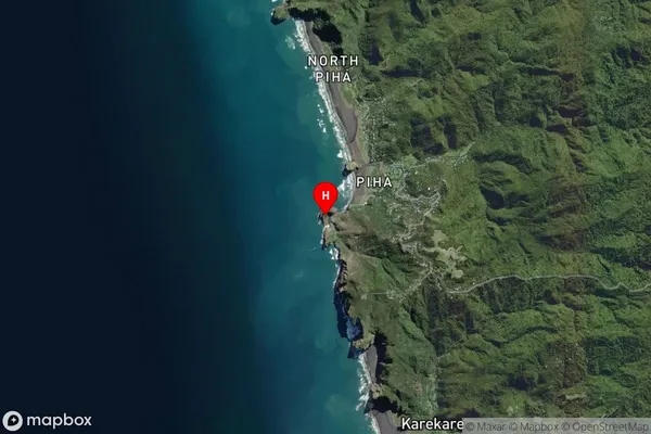
IslandTaitomo Island Suburb Map (Satellite)
Country
Main Region in AU
AucklandTaitomo Island Region Map

Coordinates
-36.9599993,174.4618106412 (latitude/longitude)Distances
The distance from Taitomo Island, , Auckland to NZ Top 10 Cities