Tahunamanu Island Area, Tahunamanu Island Postcode(3110) & Map in Tahunamanu Island
Tahunamanu Island Area, Tahunamanu Island Postcode(3110) & Map in Tahunamanu Island, Western Bay of Plenty District, New Zealand
Tahunamanu Island, Western Bay of Plenty District, New Zealand
Tahunamanu Island Postcodes
Tahunamanu Island Area (estimated)
0.1 square kilometersTahunamanu Island Population (estimated)
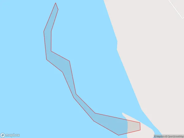
0 people live in Tahunamanu Island, Bay of Plenty, NZTahunamanu Island Suburb Area Map (Polygon)
Tahunamanu Island Introduction
Tahunamanu Island is a small island in the Bay of Plenty, New Zealand. It is known for its stunning marine biodiversity, including whales, dolphins, and sea turtles. The island is also home to a unique species of bird, the Tahunamanu owl, which is found nowhere else in the world. Visitors can explore the island by boat or hike through its lush forests and beaches.Region
Major City
Suburb Name
Tahunamanu IslandOther Name(s)
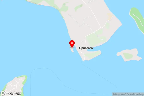
Tauranga HarbourTahunamanu Island Area Map (Street)
Local Authority
Western Bay of Plenty DistrictFull Address
Tahunamanu Island, Western Bay of Plenty District, New ZealandAddress Type
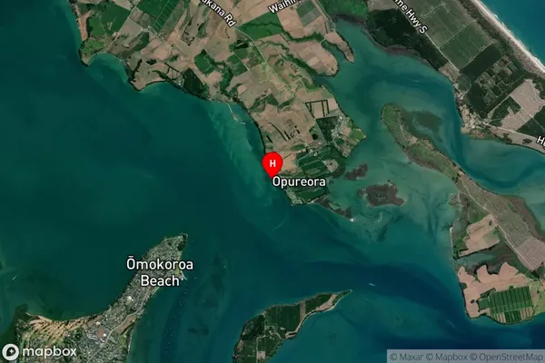
IslandTahunamanu Island Suburb Map (Satellite)
Country
Main Region in AU
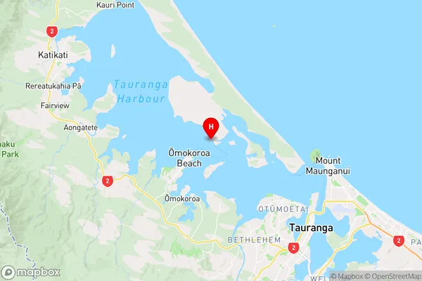
Bay of PlentyTahunamanu Island Region Map
Coordinates
-37.61849235,176.06975713893 (latitude/longitude)Distances
The distance from Tahunamanu Island, , Western Bay of Plenty District to NZ Top 10 Cities